New Plymouth Suburbs & Region, New Plymouth Map & Postcodes in New Plymouth, Taranaki
New Plymouth Postcodes, New Plymouth ZipCodes, New Plymouth , New Plymouth Taranaki, New Plymouth Suburbs, New Plymouth Region, New Plymouth Map, New Plymouth Area
New Plymouth Region (Marshland Hill Region)
New Plymouth Suburbs
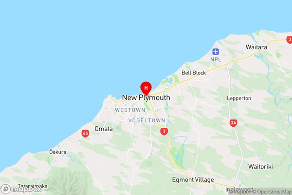
New Plymouth is a city place type in Taranaki, NZ. It contains 45 suburbs or localities.New Plymouth Region Map
New Plymouth Introduction
New Plymouth is a city in the southwest of Taranaki, New Zealand. It is the fifth-largest urban area in the country and the central hub of the Taranaki region. The city is known for its stunning natural scenery, including the Mount Taranaki and the surrounding coastal areas. New Plymouth is home to a number of important historical sites, including the Te Papa Tongarewa Museum, the Govett-Brewster Art Gallery, and the New Plymouth District Library. The city is also a major hub for education and research, with a number of universities and research institutes located in the area.New Plymouth Region
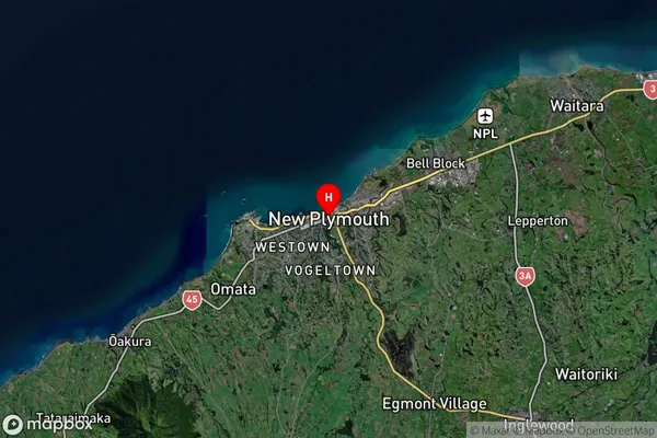
New Plymouth Satellite Map
Full Address
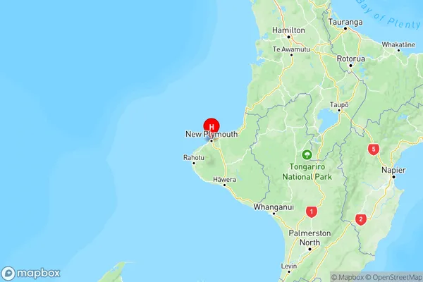
New Plymouth, TaranakiNew Plymouth Coordinates
-39.057994,174.080647 (Latitude / Longitude)New Plymouth Map in NZ
NZ Island
North IslandCountry
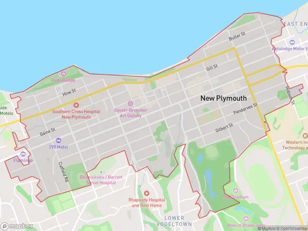
New Plymouth Area Map (Polygon)
Name
New PlymouthAdditional Name
Marshland HillLocal Authority
New Plymouth District
New Plymouth Suburbs (Sort by Population)
Bell Block
Bell Block - 7370Westown
Westown - 6406New Plymouth
New Plymouth - 4938Merrilands
Merrilands - 4283Frankleigh Park
Frankleigh Park - 3057Spotswood
Spotswood - 2979Whalers Gate
Whalers Gate - 2724Strandon
Strandon - 2468Welbourn
Welbourn - 2367Fitzroy
Fitzroy - 2198Moturoa
Moturoa - 2181Marfell
Marfell - 2137Highlands Park
Highlands Park - 1826Vogeltown
Vogeltown - 1791Hurworth
Hurworth - 1504Lynmouth
Lynmouth - 1476Blagdon
Blagdon - 1474Lower Vogeltown
Lower Vogeltown - 1307Upper Vogeltown
Upper Vogeltown - 1274Hurdon
Hurdon - 1155Lepperton
Lepperton - 1136Glen Avon
Glen Avon - 973Brooklands
Brooklands - 937Hillsborough
Hillsborough - 833Ferndale
Ferndale - 828Waiwhakaiho
Waiwhakaiho - 782Omata
Omata - 723Kaitake
Kaitake - 620Paraite
Paraite - 576Mangorei
Mangorei - 558Tarurutangi
Tarurutangi - 440Koru
Koru - 364Hurford
Hurford - 342Pitone
Pitone - 245Ridgewood
Ridgewood - 237Tataraimaka
Tataraimaka - 226Sentry Hill
Sentry Hill - 224Burgess Park
Burgess Park - 187Korito
Korito - 174Huirangi
Huirangi - 154New Plymouth Airport
New Plymouth Airport - 116Port Taranaki
Port Taranaki - 25Pukeiti
Pukeiti - 3
New Plymouth Suburbs (Sort in alphabetical)
Bell Block
Blagdon
Brooklands
Egmont Village
Ferndale
Fitzroy
Frankleigh Park
Glen Avon
Highlands Park
Hillsborough
Hurdon
Hurworth
Inglewood
Korito
Lepperton
Lower Vogeltown
Lynmouth
Mangorei
Marfell
Merrilands
Mokau
Motumahanga (Saddleback)
Moturoa
New Plymouth Central
Oakura
Okato
Okoki
Omata
Onaero
Sentry Hill
Spotswood
Strandon
Tarata
Tarurutangi
Tikorangi
Tongaporutu
Upper Vogeltown
Urenui
Uruti
Vogeltown
Waitara
Waiwhakaiho
Welbourn
Westown
Whalers Gate