Moturoa Area, Moturoa Postcode(4310) & Map in Moturoa
Moturoa Area, Moturoa Postcode(4310) & Map in Moturoa, New Plymouth District, New Zealand
Moturoa, New Plymouth District, New Zealand
Moturoa Area (estimated)
1.7 square kilometersMoturoa Population (estimated)
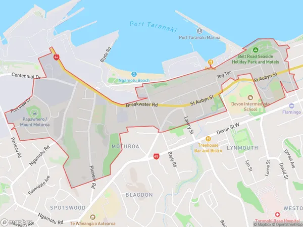
2181 people live in Moturoa, New Plymouth, NZMoturoa Suburb Area Map (Polygon)
Moturoa Introduction
Moturoa Island is a small, rocky island located off the coast of New Plymouth, Taranaki, New Zealand. It is known for its stunning natural beauty, including its crystal-clear waters, rugged cliffs, and lush vegetation. The island is a popular destination for tourists and outdoor enthusiasts, with many activities to enjoy, such as hiking, snorkeling, and kayaking. It is also home to a small community of people who live off the land and maintain a traditional way of life.Region
Major City
Suburb Name
MoturoaOther Name(s)
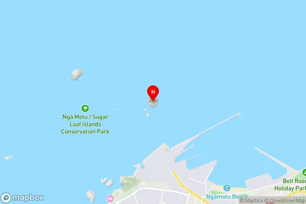
New Plymouth CentralMoturoa Area Map (Street)
Local Authority
New Plymouth DistrictFull Address
Moturoa, New Plymouth District, New ZealandAddress Type
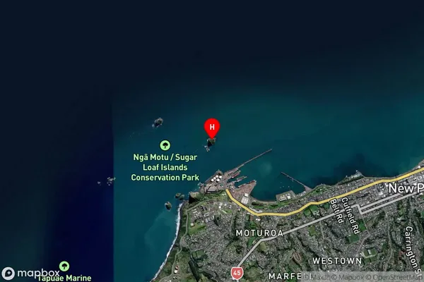
Suburb in City New PlymouthMoturoa Suburb Map (Satellite)
Country
Main Region in AU
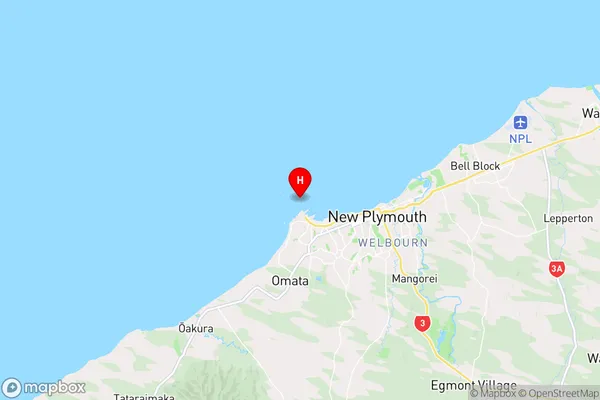
TaranakiMoturoa Region Map
Coordinates
-39.04906355,174.027678009933 (latitude/longitude)Distances
The distance from Moturoa, New Plymouth, New Plymouth District to NZ Top 10 Cities