Paraite Area, Paraite Postcode & Map in Paraite
Paraite Area, Paraite Postcode & Map in Paraite, New Plymouth District,
Paraite, New Plymouth District,
Paraite Area (estimated)
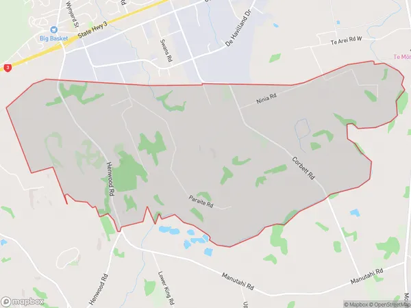
10.6 square kilometersParaite Population (estimated)
576 people live in Paraite, New Plymouth, NZParaite Suburb Area Map (Polygon)
Paraite Introduction
Paraite is a small rural community located in New Plymouth, Taranaki, New Zealand. It is known for its beautiful natural surroundings, including the Paraite Forest and the nearby Paraite River. The community has a strong sense of community and is home to a variety of families and individuals. The area is popular with outdoor enthusiasts, with many opportunities for hiking, cycling, and fishing.Region
Major City
Suburb Name
ParaiteParaite Area Map (Street)
Local Authority
New Plymouth DistrictFull Address
Paraite, New Plymouth District,Address Type
Locality in City New PlymouthParaite Suburb Map (Satellite)
Country
Main Region in AU
TaranakiParaite Region Map
Coordinates
0,0 (latitude/longitude)Distances
The distance from Paraite, New Plymouth, New Plymouth District to NZ Top 10 Cities