Omata Area, Omata Postcode(4374) & Map in Omata
Omata Area, Omata Postcode(4374) & Map in Omata, New Plymouth District, New Zealand
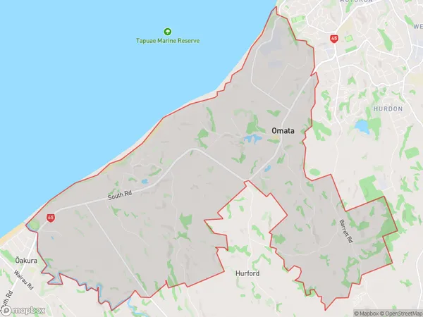
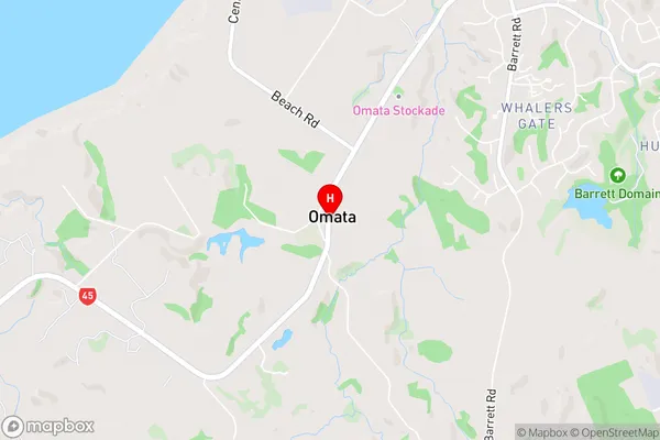
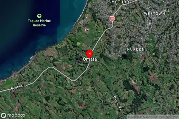
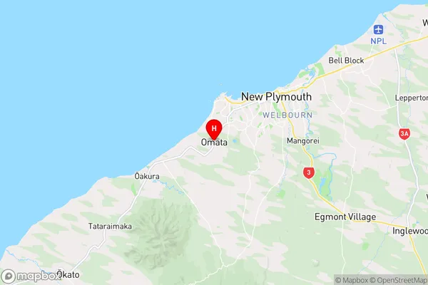
Omata, New Plymouth District, New Zealand
Omata Postcodes
Omata Area (estimated)
27.7 square kilometersOmata Population (estimated)
723 people live in Omata, New Plymouth, NZOmata Suburb Area Map (Polygon)
Omata Introduction
Omata is a small rural town located in the Taranaki region of New Zealand. It is known for its beautiful natural surroundings, including rolling hills, lush green valleys, and stunning coastal views. The town has a population of around 500 people and is surrounded by farmland and picturesque gardens. Omata is a popular destination for outdoor enthusiasts, with many walking and hiking trails nearby. The town also has a community hall, a library, and a small supermarket.Region
Major City
Suburb Name
OmataOmata Area Map (Street)
Local Authority
New Plymouth DistrictFull Address
Omata, New Plymouth District, New ZealandAddress Type
Locality in City New PlymouthOmata Suburb Map (Satellite)
Country
Main Region in AU
TaranakiOmata Region Map
Coordinates
-39.0922999,174.0206693 (latitude/longitude)Distances
The distance from Omata, New Plymouth, New Plymouth District to NZ Top 10 Cities