Pitone Area, Pitone Postcode & Map in Pitone
Pitone Area, Pitone Postcode & Map in Pitone, New Plymouth District, New Zealand
Pitone, New Plymouth District, New Zealand
Pitone Area (estimated)
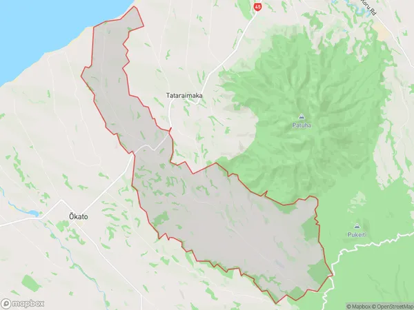
29.6 square kilometersPitone Population (estimated)
245 people live in Pitone, Waikato, NZPitone Suburb Area Map (Polygon)
Pitone Introduction
Pitone is a small rural community in the Waikato region of New Zealand, located approximately 30 kilometers south of New Plymouth. It is known for its picturesque rural setting, with rolling hills and lush green farmland. The community has a population of around 100 people and is home to a primary school, a church, and a few small businesses. Pitone is also a popular destination for outdoor activities such as hiking, cycling, and fishing, with the nearby Taranaki Mountain Range providing a stunning backdrop for these pursuits.Region
Major City
Suburb Name
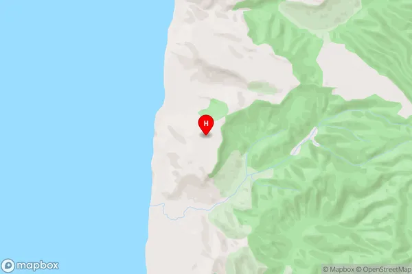
PitonePitone Area Map (Street)
Local Authority
New Plymouth DistrictFull Address
Pitone, New Plymouth District, New ZealandAddress Type
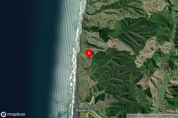
Locality in City New PlymouthPitone Suburb Map (Satellite)
Country
Main Region in AU
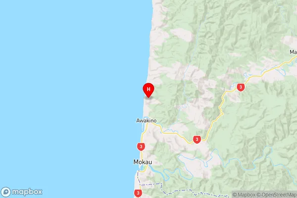
WaikatoPitone Region Map
Coordinates
-38.6294979,174.628641 (latitude/longitude)Distances
The distance from Pitone, New Plymouth, New Plymouth District to NZ Top 10 Cities