Tarata Suburbs & Region, Tarata Map & Postcodes in Tarata, New Plymouth, Taranaki
Tarata Postcodes, Tarata ZipCodes, Tarata , Tarata Taranaki, Tarata Suburbs, Tarata Region, Tarata Map, Tarata Area
Tarata Region
Tarata Suburbs
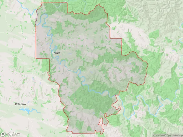
Tarata is a suburb place type in New Plymouth, Taranaki, NZ. It contains 2 suburbs or localities.Tarata Postcodes
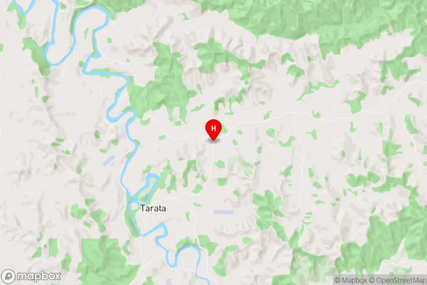
Tarata Region Map
Tarata Introduction
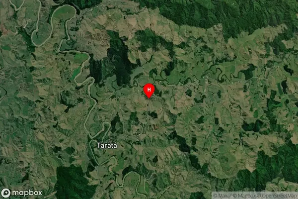
Tarata is a small rural community located in the Taranaki region of New Zealand. It is situated on the banks of the Taranaki River, approximately 30 kilometers north of New Plymouth. The community has a population of around 100 people and is known for its scenic surroundings, including rolling hills, farmland, and native forests. Tarata has a primary school, a post office, and a small community hall. The area is popular with outdoor enthusiasts, who enjoy hiking, fishing, and hunting in the surrounding countryside. The community is also home to a number of historic buildings, including the Tarata Church, which was built in 1878.Tarata Region
Tarata City
Tarata Satellite Map
Full Address
Tarata, New Plymouth, TaranakiTarata Coordinates
-39.1379692,174.3813856 (Latitude / Longitude)Tarata Map in NZ
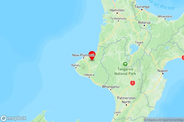
NZ Island
North IslandCountry
Tarata Area Map (Polygon)
Name
TarataAdditional Name
Local Authority
New Plymouth District