Purangi Area, Purangi Postcode(3591) & Map in Purangi
Purangi Area, Purangi Postcode(3591) & Map in Purangi, New Plymouth District, New Zealand
Purangi, New Plymouth District, New Zealand
Purangi Postcodes
Purangi Area (estimated)
66.3 square kilometersPurangi Population (estimated)
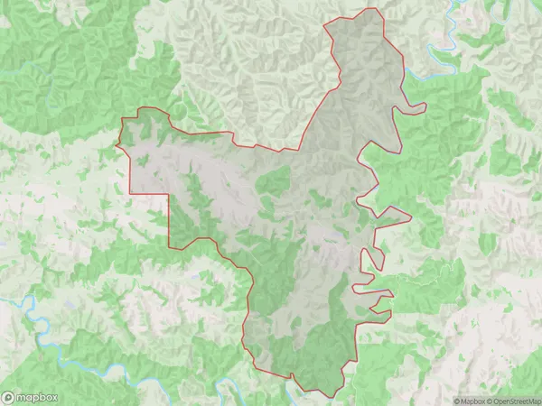
41 people live in Purangi, Waikato, NZPurangi Suburb Area Map (Polygon)
Purangi Introduction
Purangi is a small rural community in the Waikato region of New Zealand. It is located on State Highway 1, approximately 30 kilometers south of Hamilton. The community has a population of around 100 people and is known for its scenic rural setting and historic church. The area is popular with outdoor enthusiasts, with many walking and cycling tracks nearby. The Purangi River, which flows through the community, is a popular spot for fishing and swimming.Region
Major City
Suburb Name
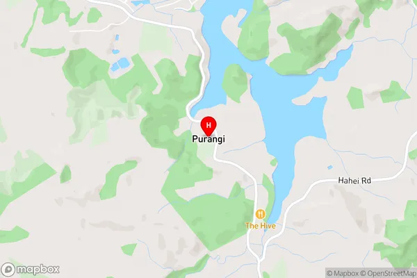
PurangiPurangi Area Map (Street)
Local Authority
New Plymouth DistrictFull Address
Purangi, New Plymouth District, New ZealandAddress Type
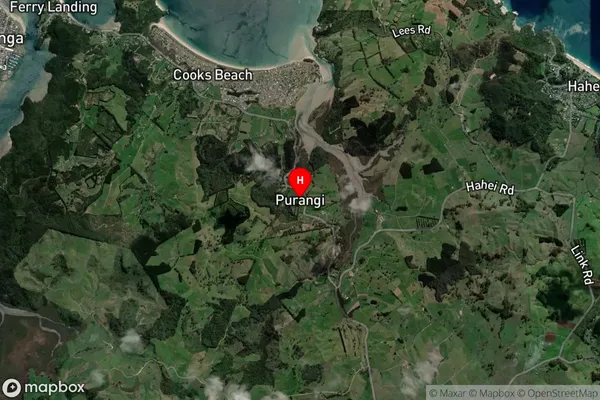
Locality in Major Locality TarataPurangi Suburb Map (Satellite)
Country
Main Region in AU
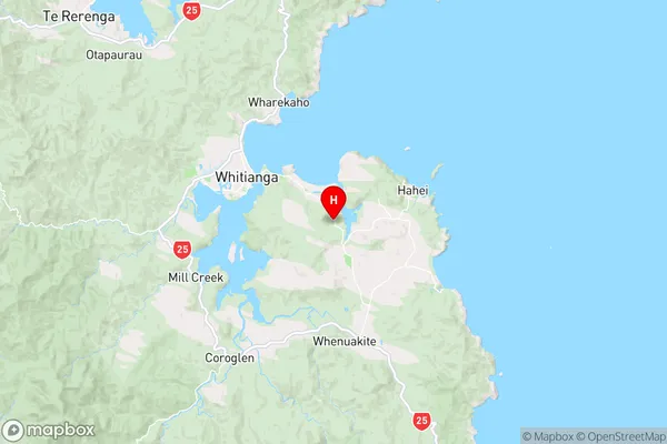
WaikatoPurangi Region Map
Coordinates
-36.85546,175.75604 (latitude/longitude)Distances
The distance from Purangi, Tarata, New Plymouth District to NZ Top 10 Cities