Ridgewood Area, Ridgewood Postcode & Map in Ridgewood
Ridgewood Area, Ridgewood Postcode & Map in Ridgewood, New Plymouth District,
Ridgewood, New Plymouth District,
Ridgewood Area (estimated)
1.9 square kilometersRidgewood Population (estimated)
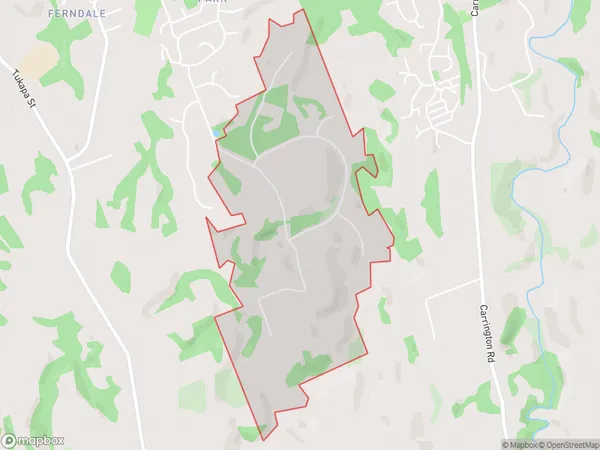
237 people live in Ridgewood, New Plymouth, NZRidgewood Suburb Area Map (Polygon)
Ridgewood Introduction
Ridgewood is a suburb of New Plymouth, Taranaki, New Zealand. It is located on the western side of the city, near the airport. The suburb has a variety of housing types, including apartments, houses, and bungalows. Ridgewood has a number of parks and recreational facilities, including a golf course, a swimming pool, and a sports complex. The suburb is also home to a number of schools, including Ridgewood Primary School and New Plymouth Boys' High School.Region
Major City
Suburb Name
RidgewoodOther Name(s)
New Plymouth SouthRidgewood Area Map (Street)
Local Authority
New Plymouth DistrictFull Address
Ridgewood, New Plymouth District,Address Type
Suburb in City New PlymouthRidgewood Suburb Map (Satellite)
Country
Main Region in AU
TaranakiRidgewood Region Map
Coordinates
0,0 (latitude/longitude)Distances
The distance from Ridgewood, New Plymouth, New Plymouth District to NZ Top 10 Cities