Strandon Area, Strandon Postcode(4312) & Map in Strandon
Strandon Area, Strandon Postcode(4312) & Map in Strandon, New Plymouth District, New Zealand
Strandon, New Plymouth District, New Zealand
Strandon Postcodes
Strandon Area (estimated)
2.1 square kilometersStrandon Population (estimated)
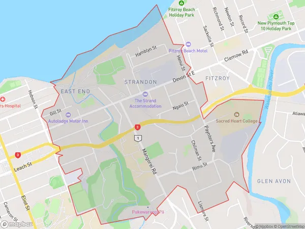
2468 people live in Strandon, New Plymouth, NZStrandon Suburb Area Map (Polygon)
Strandon Introduction
Strandon is a small coastal village located in New Plymouth, Taranaki, New Zealand. It is known for its stunning coastal scenery, including a long stretch of beach and rugged cliffs. The village has a population of around 1,000 people and is a popular destination for tourists and outdoor enthusiasts. It is also home to a large dairy farm and a small community center.Region
Major City
Suburb Name
StrandonOther Name(s)
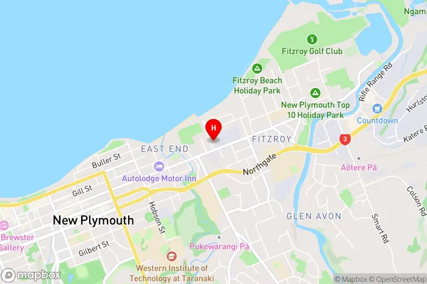
East End, New Plymouth CentralStrandon Area Map (Street)
Local Authority
New Plymouth DistrictFull Address
Strandon, New Plymouth District, New ZealandAddress Type
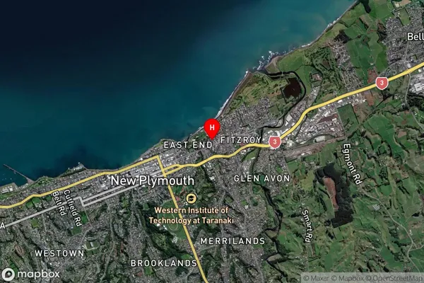
Suburb in City New PlymouthStrandon Suburb Map (Satellite)
Country
Main Region in AU
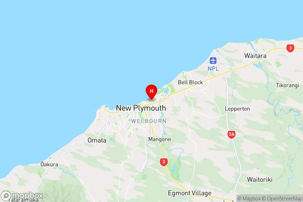
TaranakiStrandon Region Map
Coordinates
-39.0506464,174.0951534 (latitude/longitude)Distances
The distance from Strandon, New Plymouth, New Plymouth District to NZ Top 10 Cities