Upper Vogeltown Area, Upper Vogeltown Postcode(4310) & Map in Upper Vogeltown
Upper Vogeltown Area, Upper Vogeltown Postcode(4310) & Map in Upper Vogeltown, New Plymouth District,
Upper Vogeltown, New Plymouth District,
Upper Vogeltown Postcodes
Upper Vogeltown Area (estimated)
1.6 square kilometersUpper Vogeltown Population (estimated)
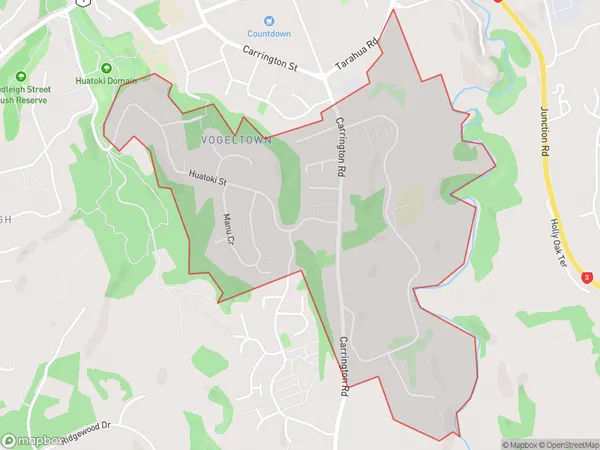
1274 people live in Upper Vogeltown, New Plymouth, NZUpper Vogeltown Suburb Area Map (Polygon)
Upper Vogeltown Introduction
Upper Vogeltown is a suburb of New Plymouth, Taranaki, New Zealand. It is located on the western side of the city, near the intersection of State Highway 1 and SH 3. The suburb has a population of around 2,000 people and is known for its historic homes and peaceful atmosphere. Upper Vogeltown is also home to a variety of shops and businesses, including a supermarket, pharmacy, and medical center.Region
Major City
Suburb Name
Upper VogeltownUpper Vogeltown Area Map (Street)
Local Authority
New Plymouth DistrictFull Address
Upper Vogeltown, New Plymouth District,Address Type
Suburb in City New PlymouthUpper Vogeltown Suburb Map (Satellite)
Country
Main Region in AU
TaranakiUpper Vogeltown Region Map
Coordinates
0,0 (latitude/longitude)Distances
The distance from Upper Vogeltown, New Plymouth, New Plymouth District to NZ Top 10 Cities