Urenui Suburbs & Region, Urenui Map & Postcodes in Urenui, New Plymouth, Taranaki
Urenui Postcodes, Urenui ZipCodes, Urenui , Urenui Taranaki, Urenui Suburbs, Urenui Region, Urenui Map, Urenui Area
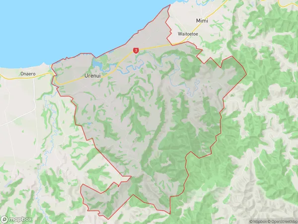
Urenui Region (Kaipikari Region)
Urenui Suburbs
Urenui is a suburb place type in New Plymouth, Taranaki, NZ. It contains 9 suburbs or localities.Urenui Postcodes
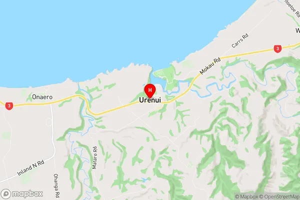
Urenui Region Map
Urenui Introduction
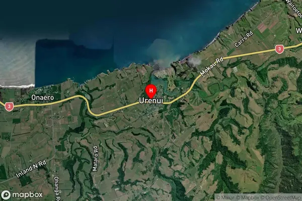
Urenui is a small coastal town located in Taranaki, New Zealand. It is situated on the west coast of the North Island and is known for its stunning natural beauty, including rugged coastline, lush green forests, and crystal-clear rivers. The town has a population of around 1,000 people and is a popular destination for outdoor enthusiasts, with many opportunities for hiking, fishing, and surfing. Urenui also has a historic village with a rich cultural heritage, including a museum and a historic church. The town is surrounded by stunning natural landscapes and is located just a short drive from the popular city of New Plymouth.Urenui Region
Urenui City
Urenui Satellite Map
Full Address
Urenui, New Plymouth, TaranakiUrenui Coordinates
-38.997129,174.387793 (Latitude / Longitude)Urenui Map in NZ
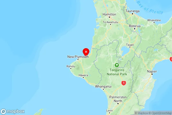
NZ Island
North IslandCountry
Urenui Area Map (Polygon)
Name
UrenuiAdditional Name
KaipikariLocal Authority
New Plymouth District
Urenui Suburbs (Sort by Population)
Urenui
Urenui - 685Onaero
Onaero - 432Mimi
Mimi - 226Waiiti
Waiiti - 171Uruti
Uruti - 133Okoki
Okoki - 120Tongaporutu
Tongaporutu - 96Ahititi
Ahititi - 46Mount Messenger
Mount Messenger - 8