Tongaporutu Area, Tongaporutu Postcode(4378) & Map in Tongaporutu
Tongaporutu Area, Tongaporutu Postcode(4378) & Map in Tongaporutu, New Plymouth District, New Zealand
Tongaporutu, New Plymouth District, New Zealand
Tongaporutu Postcodes
Tongaporutu Area (estimated)
152.0 square kilometersTongaporutu Population (estimated)
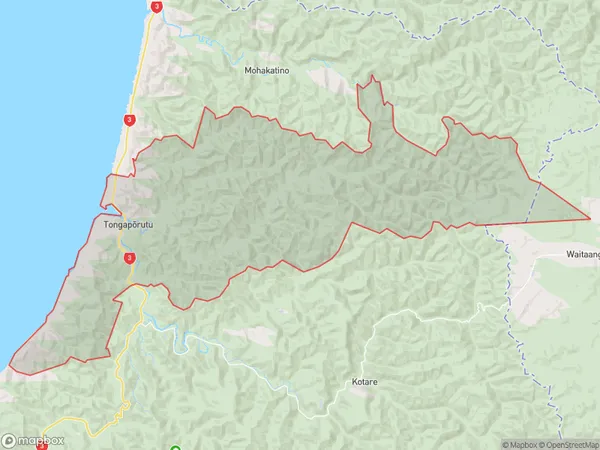
96 people live in Tongaporutu, Taranaki, NZTongaporutu Suburb Area Map (Polygon)
Tongaporutu Introduction
Tongaporutu is a small settlement on the west coast of New Zealand's North Island. It is located in the Urenui District of Taranaki and is known for its stunning coastal scenery and rich cultural heritage. The village has a population of around 100 people and is home to the Tongaporutu Marae, a significant cultural center for the local Maori people. The area is also popular with tourists and outdoor enthusiasts, who enjoy activities such as hiking, fishing, and surfing.Region
Major City
Suburb Name
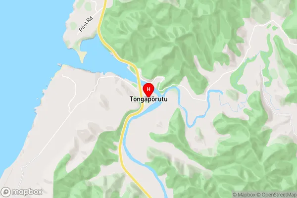
Tongaporutu (Maori Name: Tongapōrutu)Tongaporutu Area Map (Street)
Local Authority
New Plymouth DistrictFull Address
Tongaporutu, New Plymouth District, New ZealandAddress Type
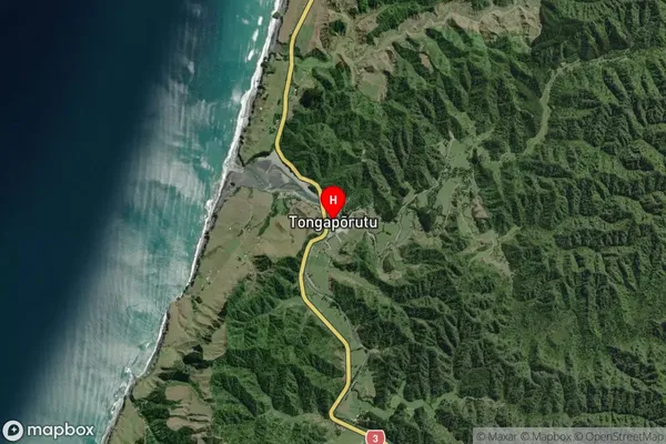
Locality in Town UrenuiTongaporutu Suburb Map (Satellite)
Country
Main Region in AU
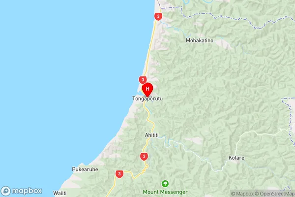
TaranakiTongaporutu Region Map
Coordinates
-38.8207345,174.5992321 (latitude/longitude)Distances
The distance from Tongaporutu, Urenui, New Plymouth District to NZ Top 10 Cities