Ahititi Area, Ahititi Postcode(4378) & Map in Ahititi
Ahititi Area, Ahititi Postcode(4378) & Map in Ahititi, New Plymouth District, New Zealand
Ahititi, New Plymouth District, New Zealand
Ahititi Postcodes
Ahititi Area (estimated)
225.1 square kilometersAhititi Population (estimated)
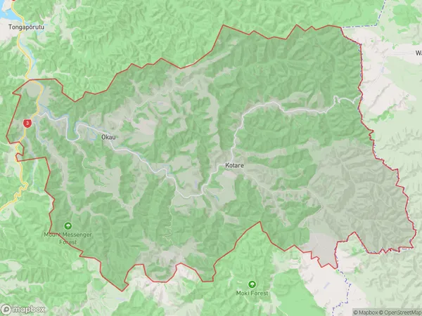
46 people live in Ahititi, Taranaki, NZAhititi Suburb Area Map (Polygon)
Ahititi Introduction
Ahititi is a small rural community located in the Urenui district of Taranaki, New Zealand. It is situated on the banks of the Ahititi River and is known for its scenic beauty and peaceful atmosphere. The community has a population of around 500 people and is home to a variety of businesses and services, including a primary school, a post office, and a convenience store.Region
Major City
Suburb Name
AhititiOther Name(s)
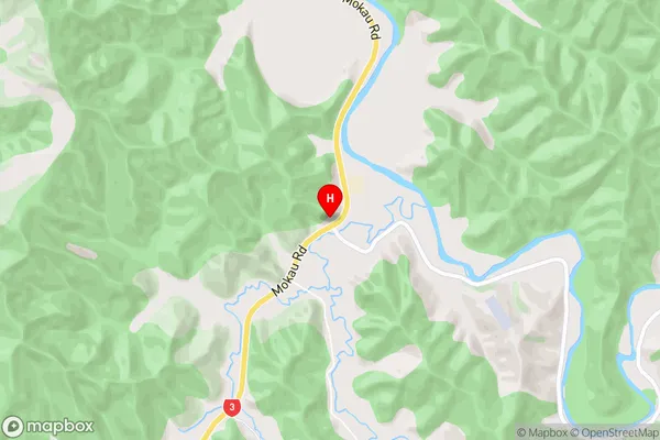
Kotare, OkauAhititi Area Map (Street)
Local Authority
New Plymouth DistrictFull Address
Ahititi, New Plymouth District, New ZealandAddress Type
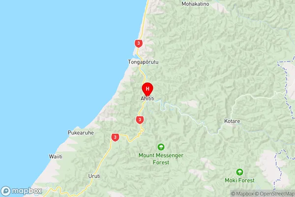
Locality in Town UrenuiAhititi Suburb Map (Satellite)
Country
Main Region in AU
TaranakiAhititi Region Map
Coordinates
-38.8604959,174.6051764 (latitude/longitude)Distances
The distance from Ahititi, Urenui, New Plymouth District to NZ Top 10 Cities