Okoki Area, Okoki Postcode(4375) & Map in Okoki
Okoki Area, Okoki Postcode(4375) & Map in Okoki, New Plymouth District, New Zealand
Okoki, New Plymouth District, New Zealand
Okoki Postcodes
Okoki Area (estimated)
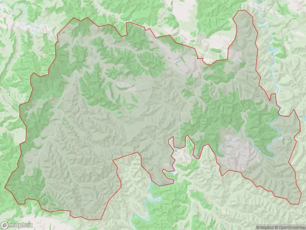
218.5 square kilometersOkoki Population (estimated)
120 people live in Okoki, Taranaki, NZOkoki Suburb Area Map (Polygon)
Okoki Introduction
Okoki is a small rural community in the Urenui district of Taranaki, New Zealand. It is located on State Highway 3 and is about 20 minutes drive from New Plymouth. The community has a primary school, a post office, and a small supermarket. The surrounding area is known for its farming and forestry, with many scenic walks and trails.Region
Major City
Suburb Name
OkokiOther Name(s)
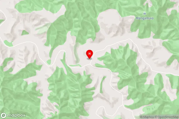
PehuOkoki Area Map (Street)
Local Authority
New Plymouth DistrictFull Address
Okoki, New Plymouth District, New ZealandAddress Type
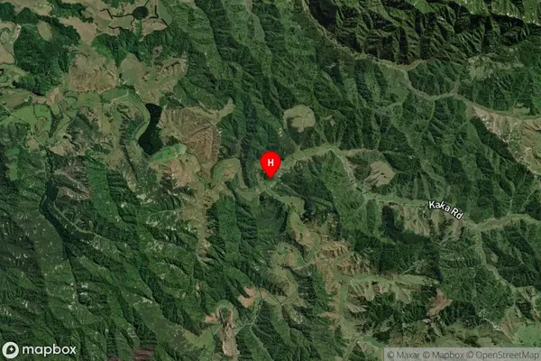
Locality in Town UrenuiOkoki Suburb Map (Satellite)
Country
Main Region in AU
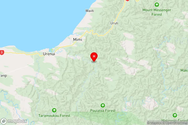
TaranakiOkoki Region Map
Coordinates
-39.0118978,174.4864297 (latitude/longitude)Distances
The distance from Okoki, Urenui, New Plymouth District to NZ Top 10 Cities