Mount Messenger Area, Mount Messenger Postcode(4378) & Map in Mount Messenger
Mount Messenger Area, Mount Messenger Postcode(4378) & Map in Mount Messenger, New Plymouth District, New Zealand
Mount Messenger, New Plymouth District, New Zealand
Mount Messenger Postcodes
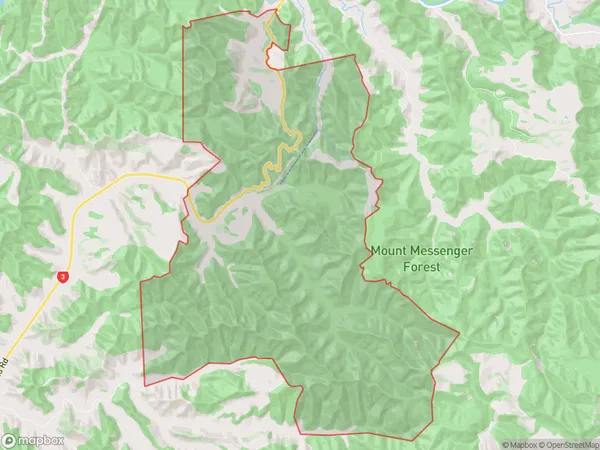
Mount Messenger Area (estimated)
28.3 square kilometersMount Messenger Population (estimated)
8 people live in Mount Messenger, Taranaki, NZMount Messenger Suburb Area Map (Polygon)
Mount Messenger Introduction
Mount Messenger is a mountain located in the Urenui Range of Taranaki, New Zealand. It is the second-highest mountain in the range, after Mount Taranaki. The mountain is named after the Messenger family, who were the first settlers in the area. The mountain is popular with hikers and climbers and offers stunning views of the surrounding landscape.Region
Major City
Suburb Name
Mount MessengerOther Name(s)
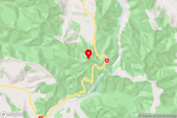
Mt MessengerMount Messenger Area Map (Street)
Local Authority
New Plymouth DistrictFull Address
Mount Messenger, New Plymouth District, New ZealandAddress Type
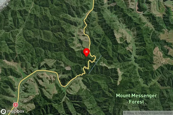
Locality in Town UrenuiMount Messenger Suburb Map (Satellite)
Country
Main Region in AU
TaranakiMount Messenger Region Map
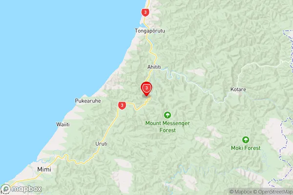
Coordinates
-38.8939724,174.594361 (latitude/longitude)Distances
The distance from Mount Messenger, Urenui, New Plymouth District to NZ Top 10 Cities