Burgess Park Area, Burgess Park Postcode & Map in Burgess Park
Burgess Park Area, Burgess Park Postcode & Map in Burgess Park, New Plymouth District,
Burgess Park, New Plymouth District,
Burgess Park Area (estimated)
13.7 square kilometersBurgess Park Population (estimated)
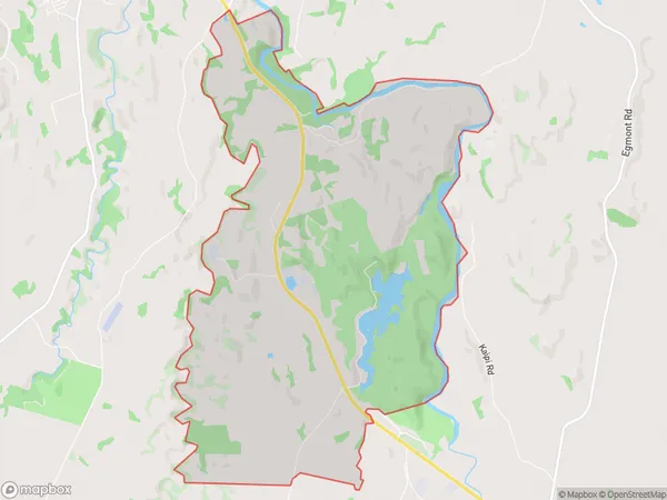
187 people live in Burgess Park, New Plymouth, NZBurgess Park Suburb Area Map (Polygon)
Burgess Park Introduction
Burgess Park is a public park in New Plymouth, Taranaki, New Zealand, established in 1860. It is named after William Burgess, a prominent local politician. The park features a large lake, walking tracks, gardens, and a children's play area. It is a popular recreational spot and is often used for events and concerts.Region
Major City
Suburb Name
Burgess ParkBurgess Park Area Map (Street)
Local Authority
New Plymouth DistrictFull Address
Burgess Park, New Plymouth District,Address Type
Locality in City New PlymouthBurgess Park Suburb Map (Satellite)
Country
Main Region in AU
TaranakiBurgess Park Region Map
Coordinates
0,0 (latitude/longitude)Distances
The distance from Burgess Park, New Plymouth, New Plymouth District to NZ Top 10 Cities