Waitara Suburbs & Region, Waitara Map & Postcodes in Waitara, New Plymouth, Taranaki
Waitara Postcodes, Waitara ZipCodes, Waitara , Waitara Taranaki, Waitara Suburbs, Waitara Region, Waitara Map, Waitara Area
Waitara Region
Waitara Suburbs
Waitara is a suburb place type in New Plymouth, Taranaki, NZ. It contains 4 suburbs or localities.Waitara Region Map
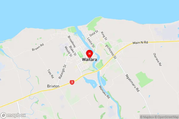
Waitara Introduction
Waitara is a suburb of New Plymouth, located on the west coast of the North Island of New Zealand. It is known for its historic railway station, which is one of the oldest in the country and is listed as a "Historic Place" by Heritage New Zealand. The suburb also has a significant Maori population and is home to the Waitara Museum, which showcases the culture and history of the area. Waitara is located approximately 10 kilometers from New Plymouth's central business district and is surrounded by farmland and natural beauty, including the Waitara River and the Taranaki Mountain Range.Waitara Region
Waitara City
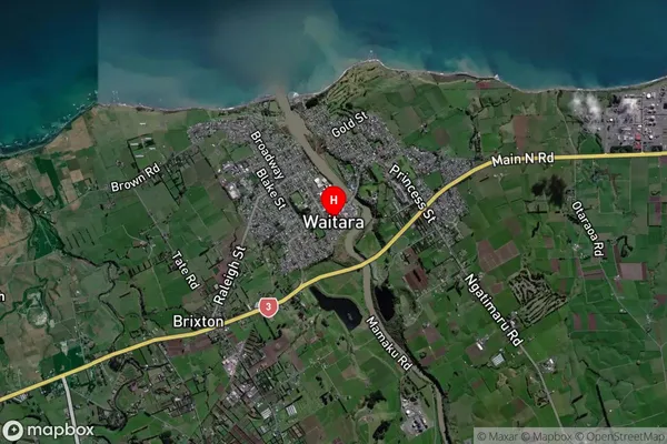
Waitara Satellite Map
Full Address
Waitara, New Plymouth, TaranakiWaitara Coordinates
-39.002824,174.236432 (Latitude / Longitude)Waitara Map in NZ
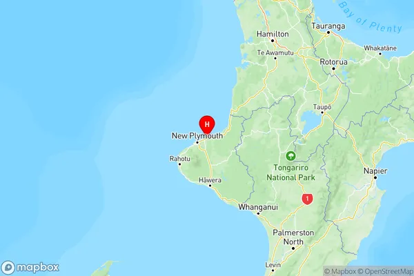
NZ Island
North IslandCountry
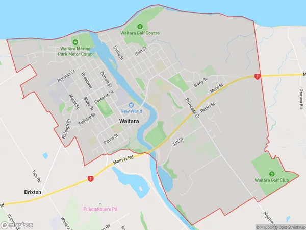
Waitara Area Map (Polygon)
Name
WaitaraAdditional Name
Local Authority
New Plymouth District