Tikorangi Area, Tikorangi Postcode(4383) & Map in Tikorangi
Tikorangi Area, Tikorangi Postcode(4383) & Map in Tikorangi, New Plymouth District, New Zealand
Tikorangi, New Plymouth District, New Zealand
Tikorangi Postcodes
Tikorangi Area (estimated)
71.6 square kilometersTikorangi Population (estimated)
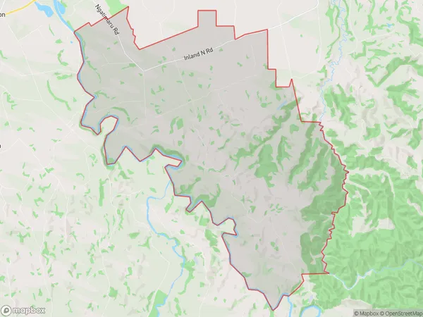
511 people live in Tikorangi, Taranaki, NZTikorangi Suburb Area Map (Polygon)
Tikorangi Introduction
Tikorangi is a suburb of Waitara, Taranaki, New Zealand. It is located on the western side of the city, near the intersection of State Highway 1 and the Taranaki Expressway. Tikorangi has a population of around 10,000 people and is known for its historic buildings, including the Tikorangi Village Museum and the St John's Anglican Church. The suburb also has a number of parks and recreational facilities, including the Tikorangi Park and the Waitara Golf Club.Region
Major City
Suburb Name
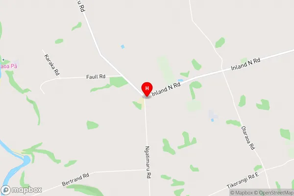
TikorangiTikorangi Area Map (Street)
Local Authority
New Plymouth DistrictFull Address
Tikorangi, New Plymouth District, New ZealandAddress Type
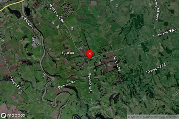
Locality in Town WaitaraTikorangi Suburb Map (Satellite)
Country
Main Region in AU
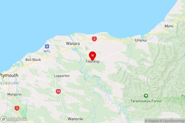
TaranakiTikorangi Region Map
Coordinates
-39.034031,174.2801245 (latitude/longitude)Distances
The distance from Tikorangi, Waitara, New Plymouth District to NZ Top 10 Cities