Waitara Area, Waitara Postcode(4320) & Map in Waitara
Waitara Area, Waitara Postcode(4320) & Map in Waitara, New Plymouth District, New Zealand
Waitara, New Plymouth District, New Zealand
Waitara Area (estimated)
15.3 square kilometersWaitara Population (estimated)
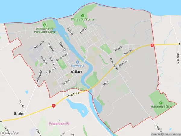
7695 people live in Waitara, Taranaki, NZWaitara Suburb Area Map (Polygon)
Waitara Introduction
Waitara is a suburb of New Plymouth, Taranaki, New Zealand. It is located on the banks of the Waitara River and is known for its historic buildings and industrial heritage. The area was first settled by Māori in the 13th century and later developed as a coal-mining and manufacturing hub. Today, Waitara is a popular residential area with a variety of shops, restaurants, and recreational facilities.Region
Major City
Suburb Name
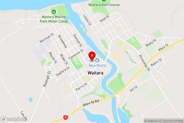
WaitaraWaitara Area Map (Street)
Local Authority
New Plymouth DistrictFull Address
Waitara, New Plymouth District, New ZealandAddress Type
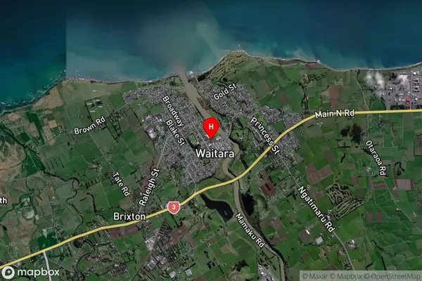
Suburb in Town WaitaraWaitara Suburb Map (Satellite)
Country
Main Region in AU
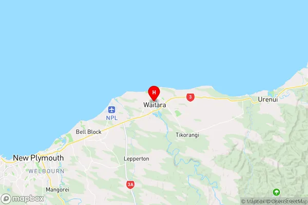
TaranakiWaitara Region Map
Coordinates
-39.0003587,174.2354625 (latitude/longitude)Distances
The distance from Waitara, Waitara, New Plymouth District to NZ Top 10 Cities