Motunui Area, Motunui Postcode(4383) & Map in Motunui
Motunui Area, Motunui Postcode(4383) & Map in Motunui, New Plymouth District, New Zealand
Motunui, New Plymouth District, New Zealand
Motunui Postcodes
Motunui Area (estimated)
25.6 square kilometersMotunui Population (estimated)
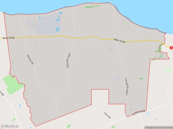
251 people live in Motunui, Taranaki, NZMotunui Suburb Area Map (Polygon)
Motunui Introduction
Motunui is a small rural community located in the Waitara region of Taranaki, New Zealand. It is known for its stunning natural surroundings, including the Motunui Mountain Range and the Ohura River. The community has a strong sense of community and is home to a variety of recreational facilities, including a golf course, a sports field, and a community hall.Region
Major City
Suburb Name
MotunuiOther Name(s)
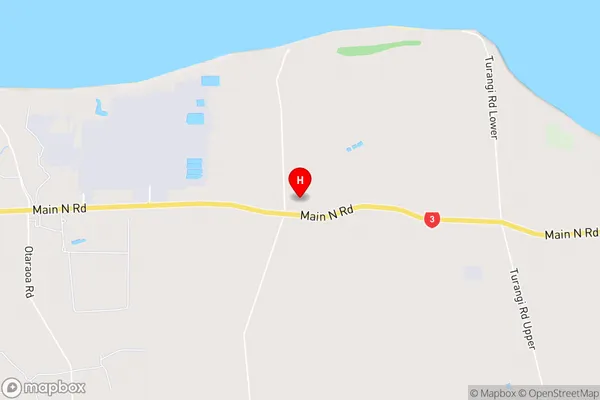
WaipapaMotunui Area Map (Street)
Local Authority
New Plymouth DistrictFull Address
Motunui, New Plymouth District, New ZealandAddress Type
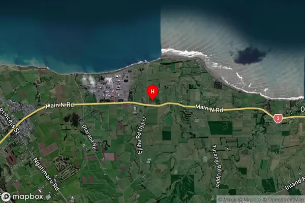
Locality in Town WaitaraMotunui Suburb Map (Satellite)
Country
Main Region in AU
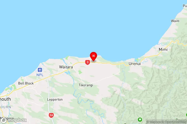
TaranakiMotunui Region Map
Coordinates
-38.9942871,174.2970349 (latitude/longitude)Distances
The distance from Motunui, Waitara, New Plymouth District to NZ Top 10 Cities