Whalers Gate Suburbs & Region, Whalers Gate Map & Postcodes in Whalers Gate, New Plymouth, Taranaki
Whalers Gate Postcodes, Whalers Gate ZipCodes, Whalers Gate , Whalers Gate Taranaki, Whalers Gate Suburbs, Whalers Gate Region, Whalers Gate Map, Whalers Gate Area
Whalers Gate Region
Whalers Gate Suburbs
Whalers Gate is a suburb place type in New Plymouth, Taranaki, NZ. It contains 0 suburbs or localities.Whalers Gate Postcodes
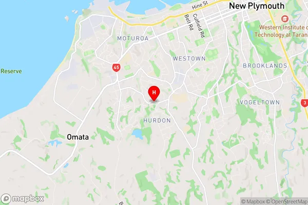
Whalers Gate Region Map
Whalers Gate Introduction
Whalers Gate is a historic site in Taranaki, New Zealand, that commemorates the whaling industry that once thrived in the area. The site includes the remains of a whaling station, a museum, and a statue of a whaling captain. Whalers Gate is a popular tourist destination and is also used for educational purposes, to teach visitors about the history of whaling and the impact of the industry on the environment and culture of New Zealand.Whalers Gate Region
Whalers Gate City
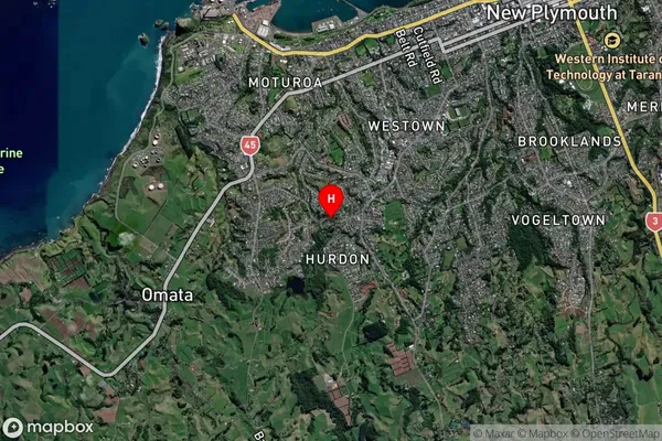
Whalers Gate Satellite Map
Full Address
Whalers Gate, New Plymouth, TaranakiWhalers Gate Coordinates
-39.083142,174.046323 (Latitude / Longitude)Whalers Gate Map in NZ
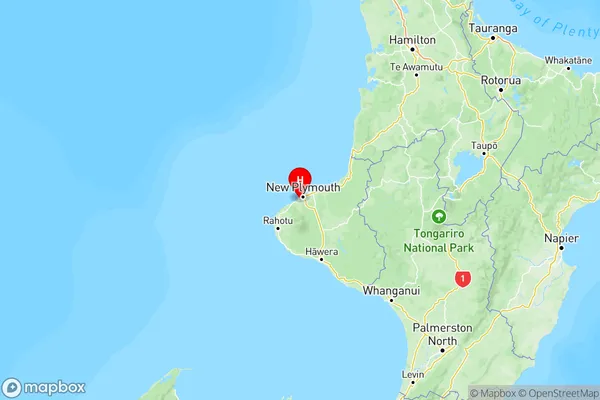
NZ Island
North IslandCountry
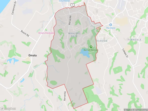
Whalers Gate Area Map (Polygon)
Name
Whalers GateAdditional Name
Local Authority
New Plymouth District
Whalers Gate Suburbs (Sort by Population)
Whalers Gate suburb has around
4.8 square
kilometers.There are more than 2724 people (estimated)
live in Whalers Gate, New Plymouth, Taranaki, New Zealand.