Whalers Gate Area, Whalers Gate Postcode(4371) & Map in Whalers Gate
Whalers Gate Area, Whalers Gate Postcode(4371) & Map in Whalers Gate, New Plymouth District, New Zealand
Whalers Gate, New Plymouth District, New Zealand
Whalers Gate Area (estimated)
4.8 square kilometersWhalers Gate Population (estimated)
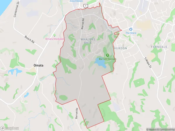
2724 people live in Whalers Gate, New Plymouth, NZWhalers Gate Suburb Area Map (Polygon)
Whalers Gate Introduction
Whalers Gate is a historic site in New Plymouth, Taranaki, New Zealand, that commemorates the city's whaling heritage and the arrival of the first European settlers. It is located on the site of the former New Plymouth Whaling Station, which operated from 1835 to 1845. The gate is a prominent landmark in the city and is a popular tourist attraction. It features a statue of a whaling captain, a museum, and a replica of a whaling ship.Region
Major City
Suburb Name
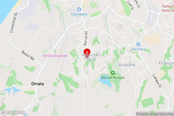
Whalers GateWhalers Gate Area Map (Street)
Local Authority
New Plymouth DistrictFull Address
Whalers Gate, New Plymouth District, New ZealandAddress Type
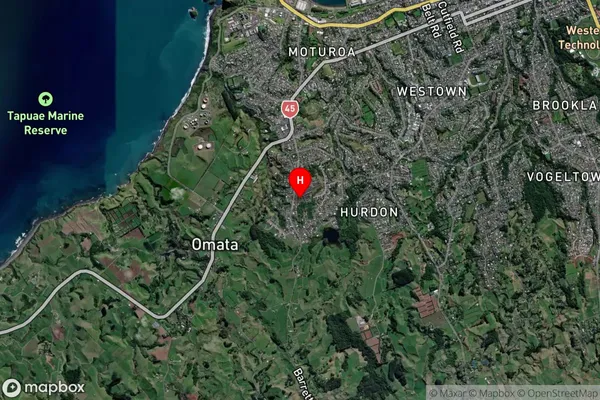
Suburb in City New PlymouthWhalers Gate Suburb Map (Satellite)
Country
Main Region in AU
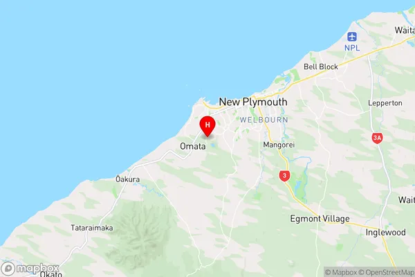
TaranakiWhalers Gate Region Map
Coordinates
-39.086196,174.0354651 (latitude/longitude)Distances
The distance from Whalers Gate, New Plymouth, New Plymouth District to NZ Top 10 Cities