Hurford Area, Hurford Postcode(4374) & Map in Hurford
Hurford Area, Hurford Postcode(4374) & Map in Hurford, New Plymouth District, New Zealand
Hurford, New Plymouth District, New Zealand
Hurford Postcodes
Hurford Area (estimated)
13.9 square kilometersHurford Population (estimated)
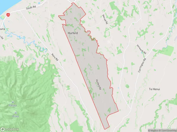
342 people live in Hurford, New Plymouth, NZHurford Suburb Area Map (Polygon)
Hurford Introduction
Hurford is a small rural community located in the Taranaki region of New Zealand. It is known for its beautiful countryside, friendly locals, and peaceful atmosphere. The area is popular with outdoor enthusiasts, with many walking and hiking trails nearby. The community also has a small school, a post office, and a convenience store.Region
Major City
Suburb Name
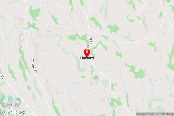
HurfordHurford Area Map (Street)
Local Authority
New Plymouth DistrictFull Address
Hurford, New Plymouth District, New ZealandAddress Type
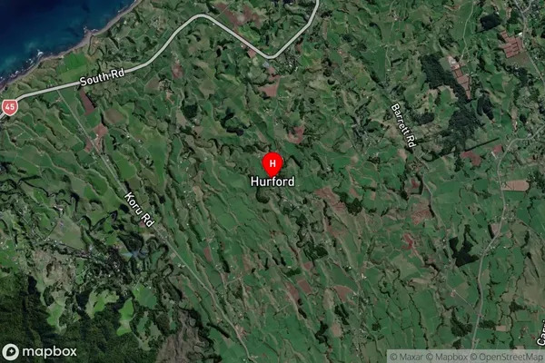
Locality in City New PlymouthHurford Suburb Map (Satellite)
Country
Main Region in AU
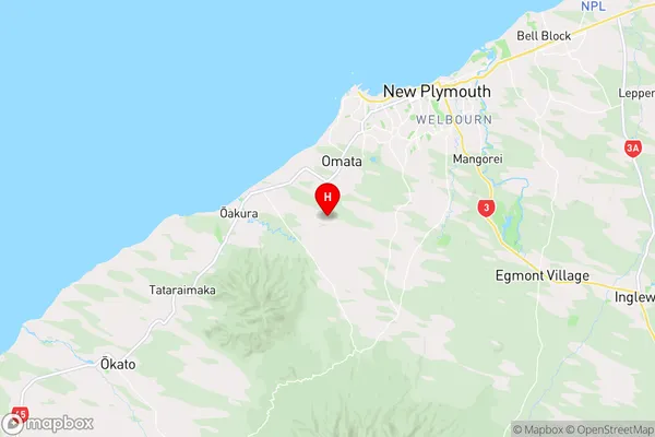
TaranakiHurford Region Map
Coordinates
-39.1200383,174.0118933 (latitude/longitude)Distances
The distance from Hurford, New Plymouth, New Plymouth District to NZ Top 10 Cities