Pukeiti Area, Pukeiti Postcode(4342) & Map in Pukeiti
Pukeiti Area, Pukeiti Postcode(4342) & Map in Pukeiti, New Plymouth District, New Zealand
Pukeiti, New Plymouth District, New Zealand
Pukeiti Postcodes
Pukeiti Area (estimated)
4.2 square kilometersPukeiti Population (estimated)
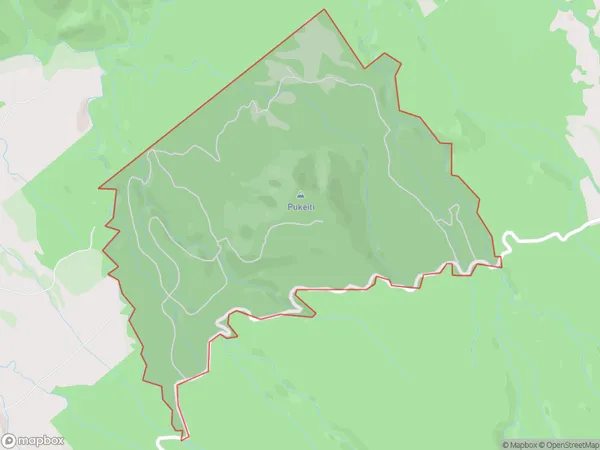
3 people live in Pukeiti, Taranaki, NZPukeiti Suburb Area Map (Polygon)
Pukeiti Introduction
Pukeiti, New Plymouth, Taranaki, NZ, is a nature reserve with a rich history and diverse ecosystems. It is home to a variety of plant and animal species, including the rare pukeko, and offers visitors the opportunity to explore walking tracks, gardens, and wetlands. The reserve also hosts cultural events and activities, such as guided tours and workshops, to promote understanding and appreciation of its natural heritage.Region
Major City
Suburb Name
PukeitiOther Name(s)
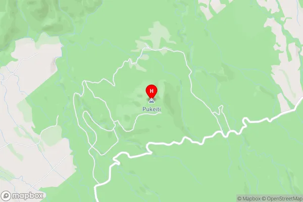
PukaitPukeiti Area Map (Street)
Local Authority
New Plymouth DistrictFull Address
Pukeiti, New Plymouth District, New ZealandAddress Type
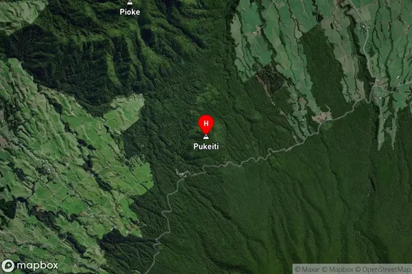
Locality in City New PlymouthPukeiti Suburb Map (Satellite)
Country
Main Region in AU
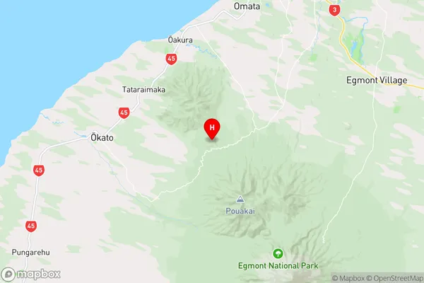
TaranakiPukeiti Region Map
Coordinates
-39.1939639,173.9869143 (latitude/longitude)Distances
The distance from Pukeiti, New Plymouth, New Plymouth District to NZ Top 10 Cities