Westown Area, Westown Postcode(4310) & Map in Westown
Westown Area, Westown Postcode(4310) & Map in Westown, New Plymouth District, New Zealand
Westown, New Plymouth District, New Zealand
Westown Postcodes
Westown Area (estimated)
3.8 square kilometersWestown Population (estimated)
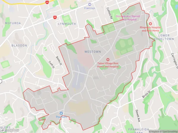
6406 people live in Westown, New Plymouth, NZWestown Suburb Area Map (Polygon)
Westown Introduction
Westown is a suburb of New Plymouth, Taranaki, New Zealand. It is located on the western side of the city, near the beach. Westown has a variety of shops, restaurants, and cafes, as well as a medical center and a library. The suburb is popular with families and young professionals, and it is known for its peaceful atmosphere and scenic surroundings.Region
Major City
Suburb Name
WestownOther Name(s)
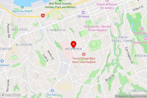
New Plymouth CentralWestown Area Map (Street)
Local Authority
New Plymouth DistrictFull Address
Westown, New Plymouth District, New ZealandAddress Type
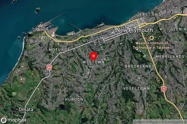
Suburb in City New PlymouthWestown Suburb Map (Satellite)
Country
Main Region in AU
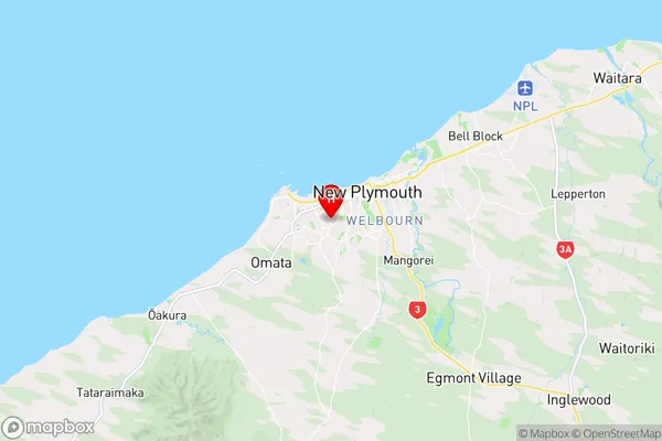
TaranakiWestown Region Map
Coordinates
-39.071737,174.0580797 (latitude/longitude)Distances
The distance from Westown, New Plymouth, New Plymouth District to NZ Top 10 Cities