Omata Suburbs & Region, Omata Map & Postcodes in Omata, New Plymouth, Taranaki
Omata Postcodes, Omata ZipCodes, Omata , Omata Taranaki, Omata Suburbs, Omata Region, Omata Map, Omata Area
Omata Region
Omata Suburbs
Omata is a suburb place type in New Plymouth, Taranaki, NZ. It contains 0 suburbs or localities.Omata Region Map
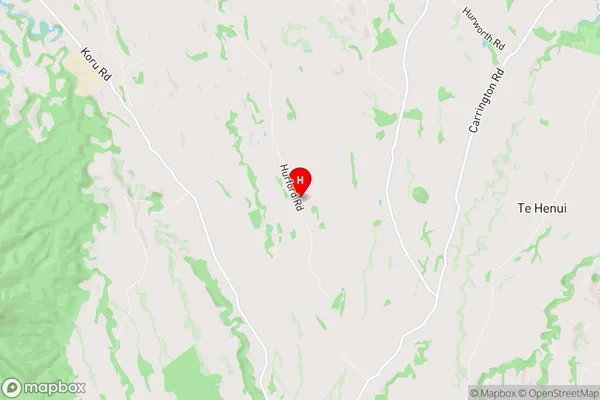
Omata Introduction
Omata is a small rural town located in the Taranaki region of New Zealand. It is situated on the banks of the Omata River, approximately 30 kilometers west of New Plymouth. The town has a population of around 1,000 people and is known for its scenic surroundings, including the Omata Golf Club and the Omata Reserve. The town also has a primary school, a post office, and a small supermarket. Omata is a popular destination for outdoor enthusiasts, with many walking and cycling trails in the surrounding area. The town is also home to a number of historic buildings, including the Omata Railway Station and the Omata Hall.Omata Region
Omata City
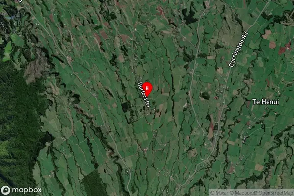
Omata Satellite Map
Full Address
Omata, New Plymouth, TaranakiOmata Coordinates
-39.15258,174.033128 (Latitude / Longitude)Omata Map in NZ
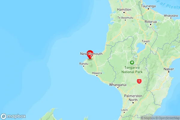
NZ Island
North IslandCountry
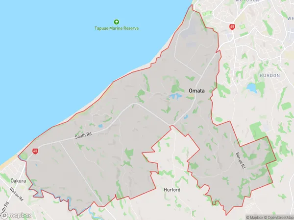
Omata Area Map (Polygon)
Name
OmataAdditional Name
Local Authority
New Plymouth District
Omata Suburbs (Sort by Population)
Omata suburb has around
27.7 square
kilometers.There are more than 723 people (estimated)
live in Omata, New Plymouth, Taranaki, New Zealand.