Spotswood Area, Spotswood Postcode(4310) & Map in Spotswood
Spotswood Area, Spotswood Postcode(4310) & Map in Spotswood, New Plymouth District, New Zealand
Spotswood, New Plymouth District, New Zealand
Spotswood Postcodes
Spotswood Area (estimated)
2.4 square kilometersSpotswood Population (estimated)
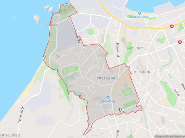
2979 people live in Spotswood, New Plymouth, NZSpotswood Suburb Area Map (Polygon)
Spotswood Introduction
Spotswood is a suburb of New Plymouth, Taranaki, New Zealand. It is located on the western side of the city, near the beach. The suburb has a variety of shops, restaurants, and recreational facilities, including a golf course and a swimming pool. It is also home to the Spotswood College and the Spotswood Community Centre.Region
Major City
Suburb Name
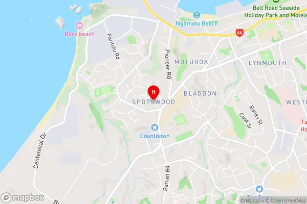
SpotswoodSpotswood Area Map (Street)
Local Authority
New Plymouth DistrictFull Address
Spotswood, New Plymouth District, New ZealandAddress Type
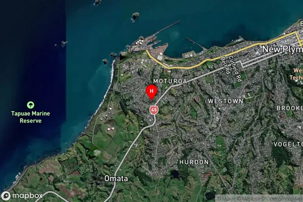
Suburb in City New PlymouthSpotswood Suburb Map (Satellite)
Country
Main Region in AU
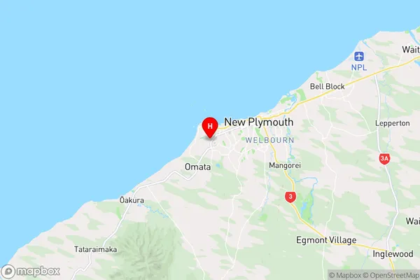
TaranakiSpotswood Region Map
Coordinates
-39.0716917,174.0328879 (latitude/longitude)Distances
The distance from Spotswood, New Plymouth, New Plymouth District to NZ Top 10 Cities