Port Taranaki Area, Port Taranaki Postcode(4310) & Map in Port Taranaki
Port Taranaki Area, Port Taranaki Postcode(4310) & Map in Port Taranaki, New Plymouth District, New Zealand
Port Taranaki, New Plymouth District, New Zealand
Port Taranaki Postcodes
Port Taranaki Area (estimated)
1.0 square kilometersPort Taranaki Population (estimated)
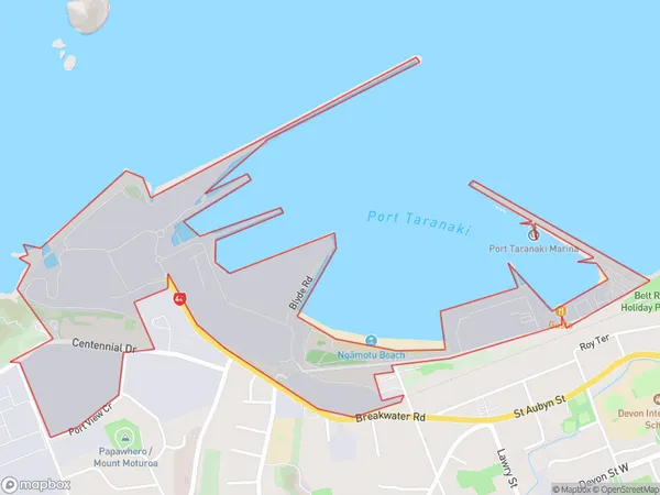
25 people live in Port Taranaki, New Plymouth, NZPort Taranaki Suburb Area Map (Polygon)
Port Taranaki Introduction
Port Taranaki is a natural harbor and the second-largest port in New Zealand. It is located in New Plymouth, Taranaki, and is an important economic and transportation hub for the region. The port handles a wide range of cargo, including agricultural products, minerals, and manufactured goods. It is also home to a significant fishing industry, with a fleet of over 500 fishing vessels operating from the port. The port is well-connected to the national road network and has a rail link to the rest of New Zealand. It is also a popular tourist destination, with many visitors coming to explore the nearby attractions, including the Mt. Taranaki and the Taranaki National Park.Region
Major City
Suburb Name
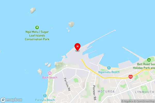
Port TaranakiPort Taranaki Area Map (Street)
Local Authority
New Plymouth DistrictFull Address
Port Taranaki, New Plymouth District, New ZealandAddress Type
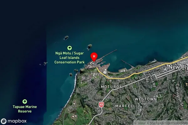
Suburb in City New PlymouthPort Taranaki Suburb Map (Satellite)
Country
Main Region in AU
TaranakiPort Taranaki Region Map

Coordinates
-39.0561073,174.029708728548 (latitude/longitude)Distances
The distance from Port Taranaki, New Plymouth, New Plymouth District to NZ Top 10 Cities