New Plymouth Area, New Plymouth Postcode(4310) & Map in New Plymouth
New Plymouth Area, New Plymouth Postcode(4310) & Map in New Plymouth, New Plymouth District, New Zealand
New Plymouth, New Plymouth District, New Zealand
New Plymouth Area (estimated)
3.7 square kilometersNew Plymouth Population (estimated)
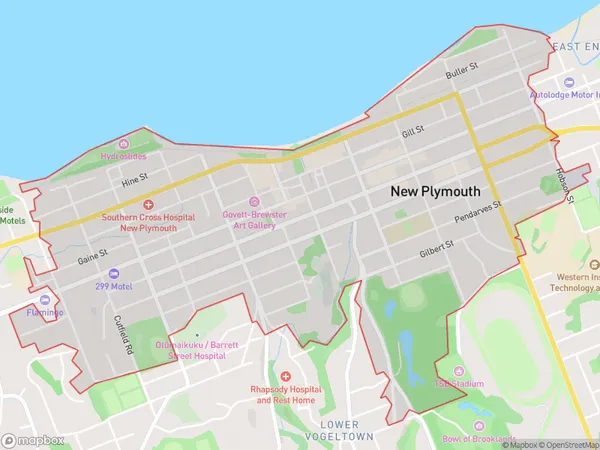
4938 people live in New Plymouth, New Plymouth, NZNew Plymouth Suburb Area Map (Polygon)
New Plymouth Introduction
New Plymouth is a city in the Taranaki region of New Zealand's North Island. It is the second-largest city in the Taranaki region and the fifth-largest city in New Zealand. The city is known for its stunning natural surroundings, including Mount Taranaki, the Egmont National Park, and the coastal beaches. New Plymouth is also home to a number of important historical sites, including the Te Papa Tongarewa Museum, the Govett-Brewster Art Gallery, and the New Plymouth Courthouse.Region
Major City
Suburb Name
New PlymouthOther Name(s)
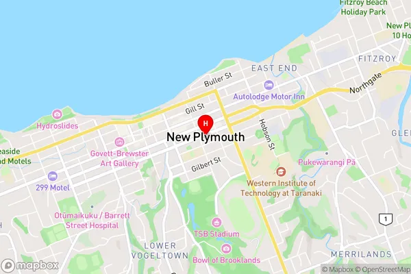
Marshland HillNew Plymouth Area Map (Street)
Local Authority
New Plymouth DistrictFull Address
New Plymouth, New Plymouth District, New ZealandAddress Type
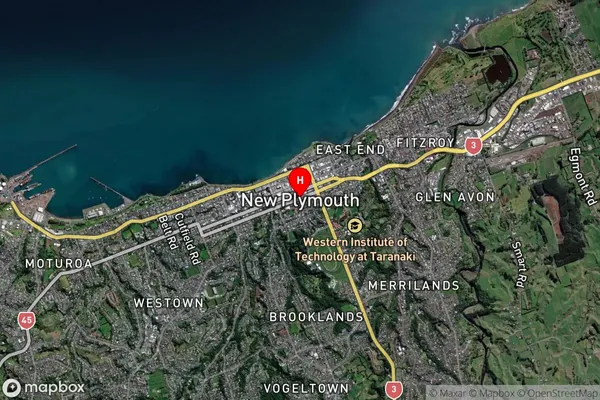
Suburb in City New PlymouthNew Plymouth Suburb Map (Satellite)
Country
Main Region in AU
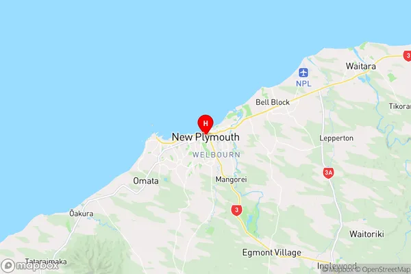
TaranakiNew Plymouth Region Map
Coordinates
-39.0579941,174.0806474 (latitude/longitude)Distances
The distance from New Plymouth, New Plymouth, New Plymouth District to NZ Top 10 Cities