Hurworth Area, Hurworth Postcode(4381) & Map in Hurworth
Hurworth Area, Hurworth Postcode(4381) & Map in Hurworth, New Plymouth District, New Zealand
Hurworth, New Plymouth District, New Zealand
Hurworth Postcodes
Hurworth Area (estimated)
29.9 square kilometersHurworth Population (estimated)
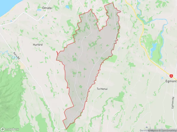
1504 people live in Hurworth, New Plymouth, NZHurworth Suburb Area Map (Polygon)
Hurworth Introduction
Hurworth is a small rural town located in the Taranaki region of New Zealand. It is known for its beautiful countryside, historic buildings, and friendly community. The town has a population of around 2,000 people and is surrounded by lush green farmland and stunning mountain views. Hurworth is a popular destination for outdoor enthusiasts, with many walking and hiking trails nearby. The town also has a golf course, a swimming pool, and a community hall.Region
Major City
Suburb Name
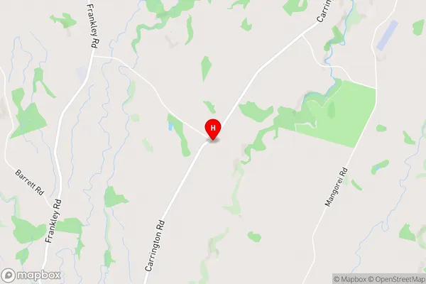
HurworthHurworth Area Map (Street)
Local Authority
New Plymouth DistrictFull Address
Hurworth, New Plymouth District, New ZealandAddress Type
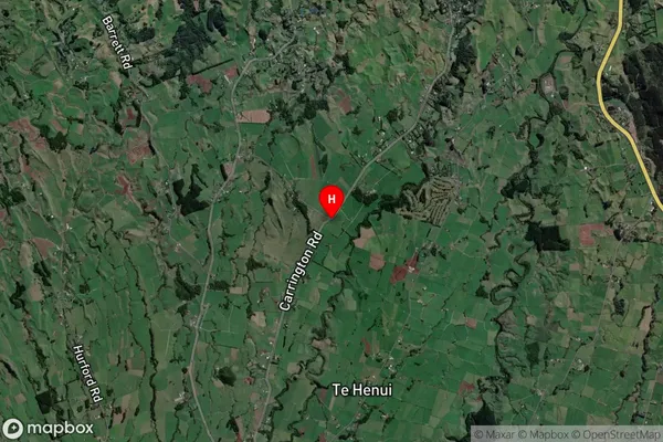
Locality in City New PlymouthHurworth Suburb Map (Satellite)
Country
Main Region in AU
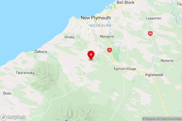
TaranakiHurworth Region Map
Coordinates
-39.1333217,174.0699577 (latitude/longitude)Distances
The distance from Hurworth, New Plymouth, New Plymouth District to NZ Top 10 Cities