Welbourn Suburbs & Region, Welbourn Map & Postcodes in Welbourn, New Plymouth, Taranaki
Welbourn Postcodes, Welbourn ZipCodes, Welbourn , Welbourn Taranaki, Welbourn Suburbs, Welbourn Region, Welbourn Map, Welbourn Area
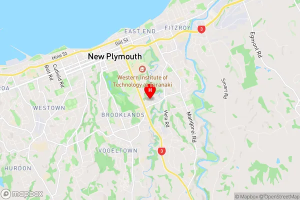
Welbourn Region (New Plymouth Central Region)
Welbourn Suburbs
Welbourn is a suburb place type in New Plymouth, Taranaki, NZ. It contains 0 suburbs or localities.Welbourn Region Map
Welbourn Introduction
Welbourn is a small township located in the Taranaki region of New Zealand. It is situated on the banks of the Welbourn River, approximately 30 kilometers south of New Plymouth. The township was established in the 1870s and has a population of around 1,000 people. Welbourn is known for its scenic surroundings, including the Welbourn Forest Park, which is a popular spot for hiking and picnicking. The town also has a primary school, a post office, a convenience store, and a community hall. The nearby town of Waitara is home to the New Plymouth Airport, and the region is known for its agricultural industries, including dairy farming and forestry.Welbourn Region
Welbourn City
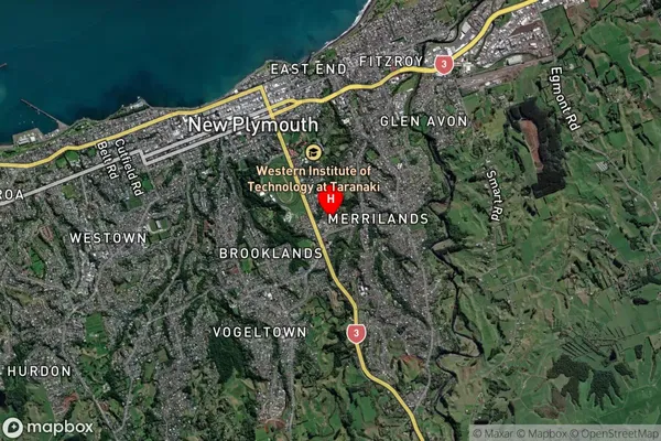
Welbourn Satellite Map
Full Address
Welbourn, New Plymouth, TaranakiWelbourn Coordinates
-39.069603,174.092742 (Latitude / Longitude)Welbourn Map in NZ
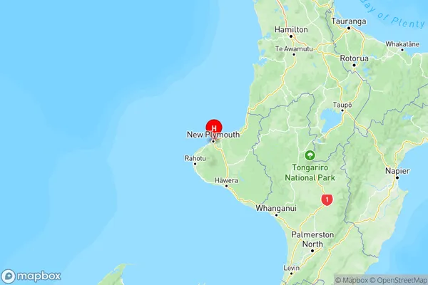
NZ Island
North IslandCountry
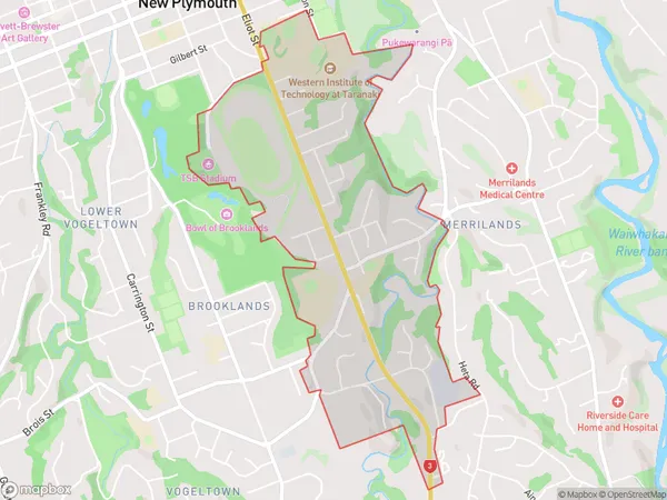
Welbourn Area Map (Polygon)
Name
WelbournAdditional Name
New Plymouth CentralLocal Authority
New Plymouth District
Welbourn Suburbs (Sort by Population)
Welbourn also known as New Plymouth Central. Welbourn suburb has around
2.4 square
kilometers.There are more than 2367 people (estimated)
live in Welbourn, New Plymouth, Taranaki, New Zealand.