Welbourn Area, Welbourn Postcode(4310) & Map in Welbourn
Welbourn Area, Welbourn Postcode(4310) & Map in Welbourn, New Plymouth District, New Zealand
Welbourn, New Plymouth District, New Zealand
Welbourn Area (estimated)
2.4 square kilometersWelbourn Population (estimated)
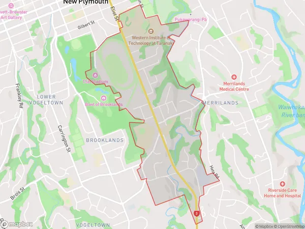
2367 people live in Welbourn, New Plymouth, NZWelbourn Suburb Area Map (Polygon)
Welbourn Introduction
Welbourn is a small rural town in New Plymouth, Taranaki, New Zealand. It is located on State Highway 1 and is about 20 minutes' drive from New Plymouth city center. The town has a population of around 1,000 people and is known for its scenic surroundings, including the Welbourn Forest and the Welbourn Ranges. The town has a primary school, a post office, a convenience store, and a community hall.Region
Major City
Suburb Name
WelbournOther Name(s)
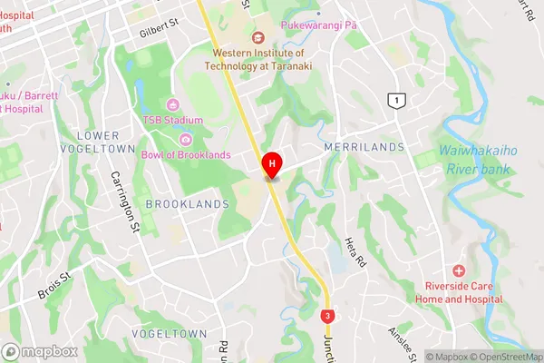
New Plymouth CentralWelbourn Area Map (Street)
Local Authority
New Plymouth DistrictFull Address
Welbourn, New Plymouth District, New ZealandAddress Type
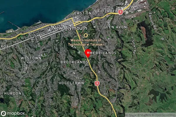
Suburb in City New PlymouthWelbourn Suburb Map (Satellite)
Country
Main Region in AU
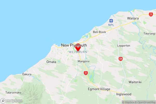
TaranakiWelbourn Region Map
Coordinates
-39.0719292,174.0914191 (latitude/longitude)Distances
The distance from Welbourn, New Plymouth, New Plymouth District to NZ Top 10 Cities