Mangorei Area, Mangorei Postcode(4371) & Map in Mangorei
Mangorei Area, Mangorei Postcode(4371) & Map in Mangorei, New Plymouth District, New Zealand
Mangorei, New Plymouth District, New Zealand
Mangorei Postcodes
Mangorei Area (estimated)
26.9 square kilometersMangorei Population (estimated)
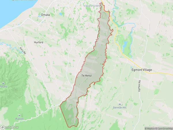
558 people live in Mangorei, New Plymouth, NZMangorei Suburb Area Map (Polygon)
Mangorei Introduction
Mangorei is a small coastal village located in New Plymouth, Taranaki, New Zealand. It is known for its stunning coastal views, beautiful beaches, and relaxed atmosphere. The village is surrounded by native forests and has a population of around 1,000 people. It is a popular destination for tourists and locals alike, with many activities to enjoy, including surfing, fishing, hiking, and kayaking.Region
Major City
Suburb Name
MangoreiOther Name(s)
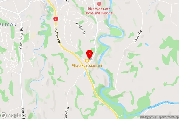
Te HenuiMangorei Area Map (Street)
Local Authority
New Plymouth DistrictFull Address
Mangorei, New Plymouth District, New ZealandAddress Type
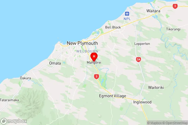
Locality in City New PlymouthMangorei Suburb Map (Satellite)

Country
Main Region in AU
TaranakiMangorei Region Map
Coordinates
-39.0909441,174.1063854 (latitude/longitude)Distances
The distance from Mangorei, New Plymouth, New Plymouth District to NZ Top 10 Cities