New Plymouth Airport Area, New Plymouth Airport Postcode(4373) & Map in New Plymouth Airport
New Plymouth Airport Area, New Plymouth Airport Postcode(4373) & Map in New Plymouth Airport, New Plymouth District, New Zealand
New Plymouth Airport, New Plymouth District, New Zealand
New Plymouth Airport Postcodes
New Plymouth Airport Area (estimated)
6.2 square kilometersNew Plymouth Airport Population (estimated)
116 people live in New Plymouth Airport, New Plymouth, NZNew Plymouth Airport Suburb Area Map (Polygon)
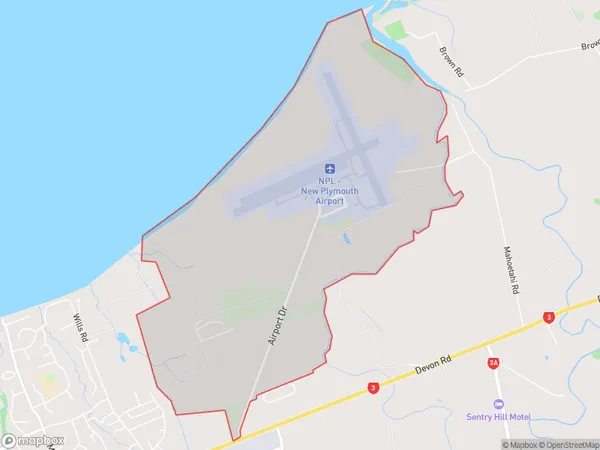
New Plymouth Airport Introduction
New Plymouth Airport is located in New Plymouth, Taranaki, New Zealand. It is the primary airport serving the city and the surrounding region, providing scheduled and charter flights to a range of destinations, including Auckland, Wellington, and Christchurch. The airport is modern, well-equipped, and conveniently located, with easy access to the city center and other attractions.Region
Major City
Suburb Name
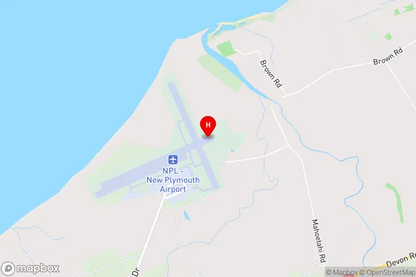
New Plymouth AirportNew Plymouth Airport Area Map (Street)
Local Authority
New Plymouth DistrictFull Address
New Plymouth Airport, New Plymouth District, New ZealandAddress Type
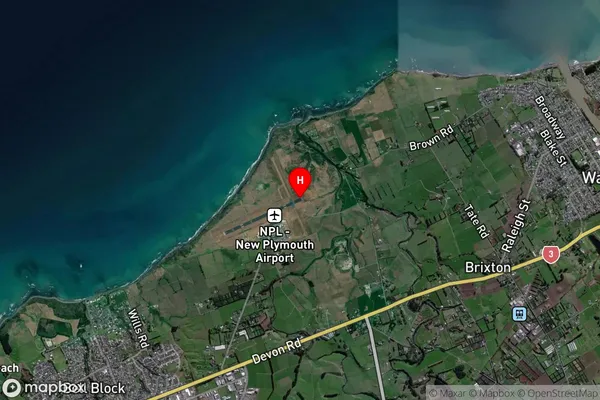
Locality in City New PlymouthNew Plymouth Airport Suburb Map (Satellite)
Country
Main Region in AU
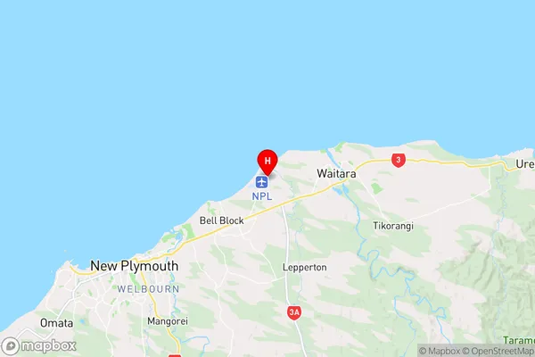
TaranakiNew Plymouth Airport Region Map
Coordinates
-39.00578615,174.183289204315 (latitude/longitude)Distances
The distance from New Plymouth Airport, New Plymouth, New Plymouth District to NZ Top 10 Cities