Fitzroy Area, Fitzroy Postcode(4312) & Map in Fitzroy
Fitzroy Area, Fitzroy Postcode(4312) & Map in Fitzroy, New Plymouth District, New Zealand
Fitzroy, New Plymouth District, New Zealand
Fitzroy Area (estimated)
2.1 square kilometersFitzroy Population (estimated)
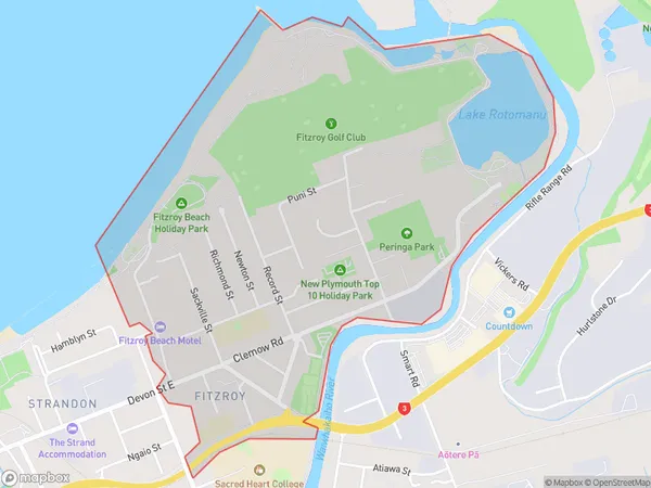
2198 people live in Fitzroy, New Plymouth, NZFitzroy Suburb Area Map (Polygon)
Fitzroy Introduction
Fitzroy is a small coastal village in New Plymouth, Taranaki, New Zealand. It is known for its stunning coastal scenery, including a long sandy beach and rugged cliffs. The village has a population of around 1,000 people and is a popular destination for tourists and outdoor enthusiasts. Fitzroy is also home to a small community of artists and craftspeople who work in a variety of mediums, including pottery, painting, and sculpture.Region
Major City
Suburb Name
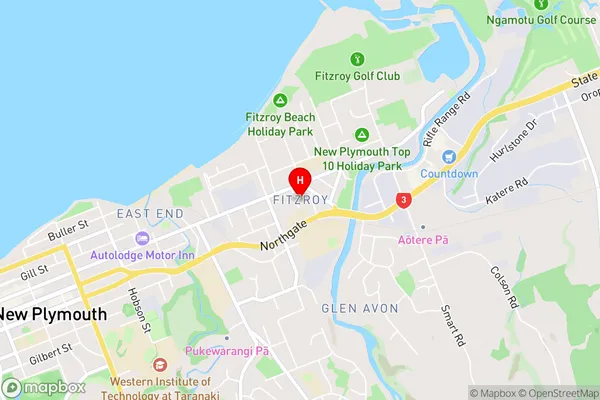
FitzroyFitzroy Area Map (Street)
Local Authority
New Plymouth DistrictFull Address
Fitzroy, New Plymouth District, New ZealandAddress Type
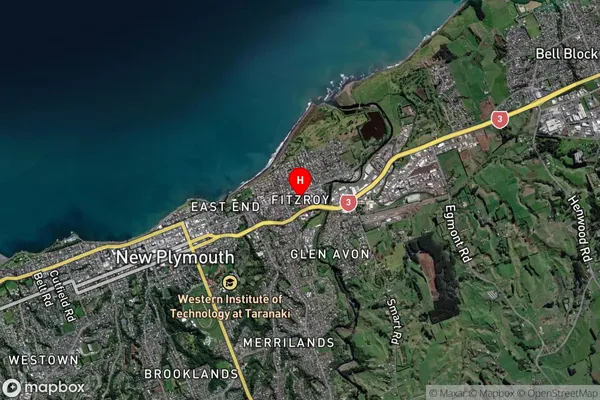
Suburb in City New PlymouthFitzroy Suburb Map (Satellite)
Country
Main Region in AU
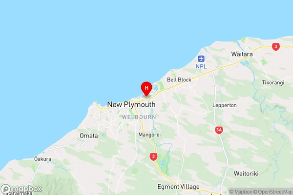
TaranakiFitzroy Region Map
Coordinates
-39.0503837,174.1021182 (latitude/longitude)Distances
The distance from Fitzroy, New Plymouth, New Plymouth District to NZ Top 10 Cities