Kaitake Area, Kaitake Postcode & Map in Kaitake
Kaitake Area, Kaitake Postcode & Map in Kaitake, New Plymouth District,
Kaitake, New Plymouth District,
Kaitake Area (estimated)
15.4 square kilometersKaitake Population (estimated)
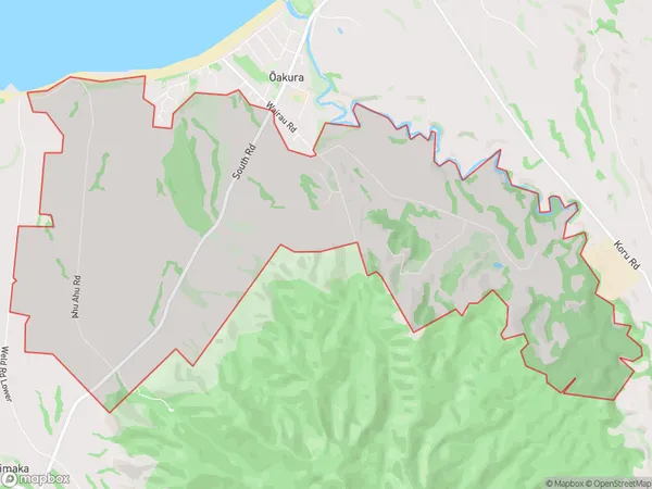
620 people live in Kaitake, New Plymouth, NZKaitake Suburb Area Map (Polygon)
Kaitake Introduction
Kaitake is a suburb of New Plymouth, Taranaki, New Zealand. It is located on the western side of the city, near the Kaitake River. The suburb has a population of around 1,000 people and is known for its scenic views and peaceful atmosphere. Kaitake is a popular destination for outdoor activities such as hiking, cycling, and fishing, and is also home to several popular restaurants and cafes.Region
Major City
Suburb Name
KaitakeKaitake Area Map (Street)
Local Authority
New Plymouth DistrictFull Address
Kaitake, New Plymouth District,Address Type
Locality in City New PlymouthKaitake Suburb Map (Satellite)
Country
Main Region in AU
TaranakiKaitake Region Map
Coordinates
0,0 (latitude/longitude)Distances
The distance from Kaitake, New Plymouth, New Plymouth District to NZ Top 10 Cities