Tikorangi Suburbs & Region, Tikorangi Map & Postcodes in Tikorangi, New Plymouth, Taranaki
Tikorangi Postcodes, Tikorangi ZipCodes, Tikorangi , Tikorangi Taranaki, Tikorangi Suburbs, Tikorangi Region, Tikorangi Map, Tikorangi Area
Tikorangi Region
Tikorangi Suburbs
Tikorangi is a suburb place type in New Plymouth, Taranaki, NZ. It contains 0 suburbs or localities.Tikorangi Postcodes
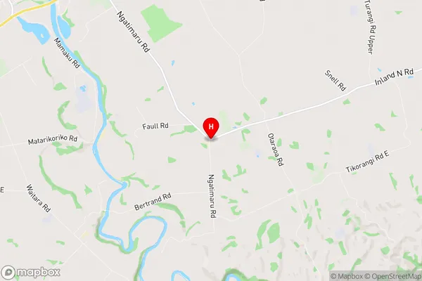
Tikorangi Region Map
Tikorangi Introduction
Taranaki is a region in New Zealand's North Island, and it is home to the Tikorangi forest. It is a forest that is home to a wide variety of plant and animal species, including the rare and endangered Taranaki kiwi. The forest is also home to a number of bird species, including the kea, which is known for its intelligence and playful behavior. The forest is a popular destination for tourists and outdoor enthusiasts, with a number of walking and hiking trails available for exploration.Tikorangi Region
Tikorangi City
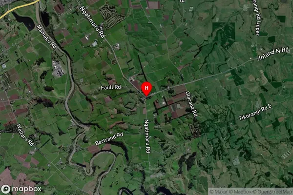
Tikorangi Satellite Map
Full Address
Tikorangi, New Plymouth, TaranakiTikorangi Coordinates
-39.034031,174.280124 (Latitude / Longitude)Tikorangi Map in NZ
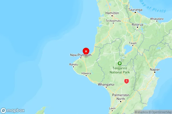
NZ Island
North IslandCountry
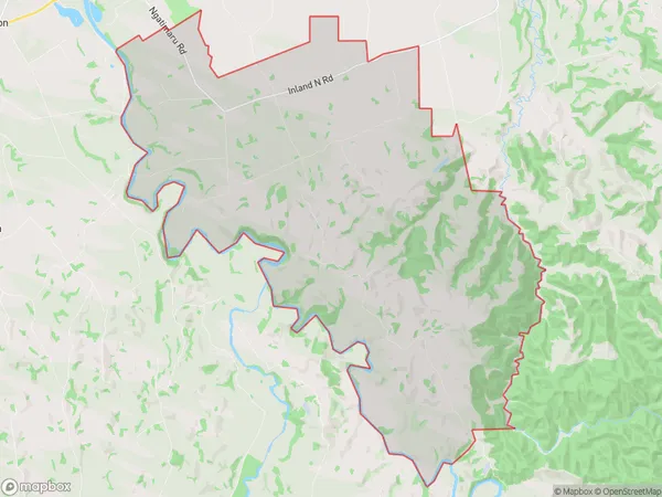
Tikorangi Area Map (Polygon)
Name
TikorangiAdditional Name
Local Authority
New Plymouth District
Tikorangi Suburbs (Sort by Population)
Tikorangi suburb has around
71.6 square
kilometers.There are more than 511 people (estimated)
live in Tikorangi, New Plymouth, Taranaki, New Zealand.