Sentry Hill Area, Sentry Hill Postcode(4373) & Map in Sentry Hill
Sentry Hill Area, Sentry Hill Postcode(4373) & Map in Sentry Hill, New Plymouth District, New Zealand
Sentry Hill, New Plymouth District, New Zealand
Sentry Hill Area (estimated)
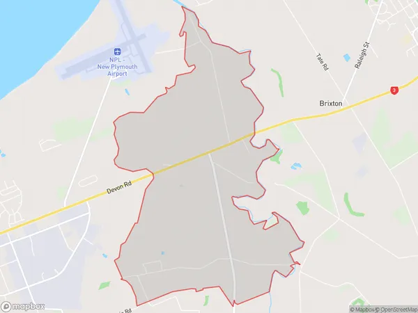
8.3 square kilometersSentry Hill Population (estimated)
224 people live in Sentry Hill, New Plymouth, NZSentry Hill Suburb Area Map (Polygon)
Sentry Hill Introduction
Sentry Hill is a prominent hill in New Plymouth, Taranaki, New Zealand. It is known for its panoramic views of the city, the surrounding countryside, and the Tasman Sea. The hill is a popular destination for walkers, hikers, and nature enthusiasts, and it offers a range of recreational activities, including picnicking, cycling, and birdwatching. Sentry Hill is also home to a number of important historical sites, including the Sentry Hill Fort, which was built in the 1860s to protect New Plymouth from potential invasion by Confederate forces during the American Civil War.Region
Major City
Suburb Name
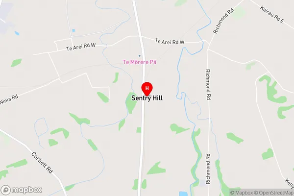
Sentry HillSentry Hill Area Map (Street)
Local Authority
New Plymouth DistrictFull Address
Sentry Hill, New Plymouth District, New ZealandAddress Type
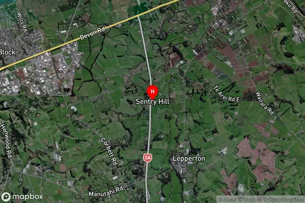
Locality in City New PlymouthSentry Hill Suburb Map (Satellite)
Country
Main Region in AU
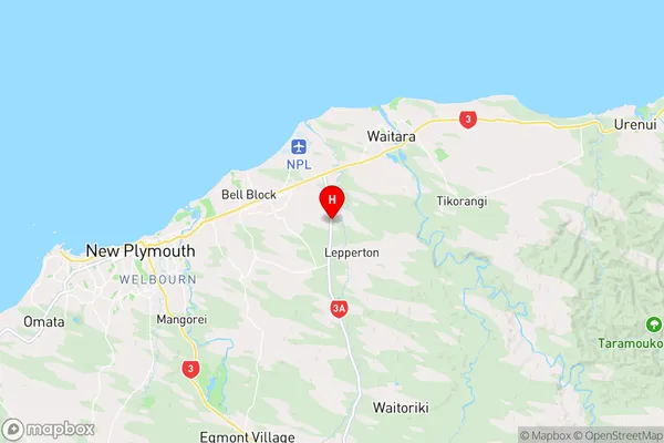
TaranakiSentry Hill Region Map
Coordinates
-39.0438692,174.1995835 (latitude/longitude)Distances
The distance from Sentry Hill, New Plymouth, New Plymouth District to NZ Top 10 Cities