Vogeltown Area, Vogeltown Postcode(4371) & Map in Vogeltown
Vogeltown Area, Vogeltown Postcode(4371) & Map in Vogeltown, New Plymouth District, New Zealand
Vogeltown, New Plymouth District, New Zealand
Vogeltown Area (estimated)
1.0 square kilometersVogeltown Population (estimated)
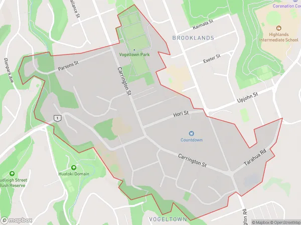
1791 people live in Vogeltown, New Plymouth, NZVogeltown Suburb Area Map (Polygon)
Vogeltown Introduction
Vogeltown is a small town located in New Plymouth, Taranaki, New Zealand. It is known for its historic wooden buildings and scenic surroundings, including the nearby Vogeltown Railway Station and the Vogeltown Museum. The town has a population of around 1,000 people and is situated on the banks of the Ohura River.Region
Major City
Suburb Name
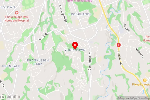
VogeltownVogeltown Area Map (Street)
Local Authority
New Plymouth DistrictFull Address
Vogeltown, New Plymouth District, New ZealandAddress Type
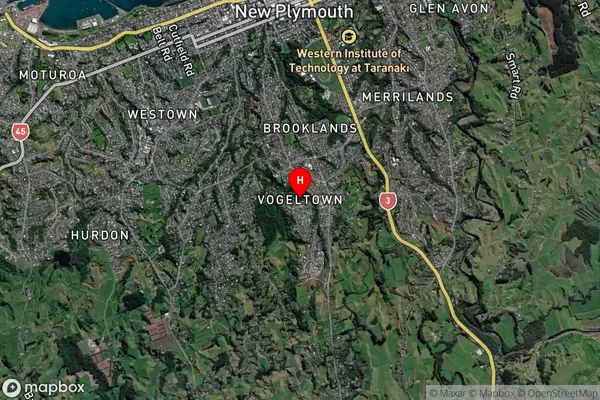
Suburb in City New PlymouthVogeltown Suburb Map (Satellite)
Country
Main Region in AU
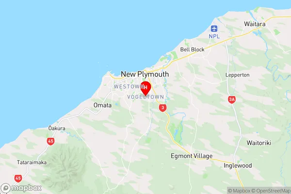
TaranakiVogeltown Region Map
Coordinates
-39.0831302,174.0816941 (latitude/longitude)Distances
The distance from Vogeltown, New Plymouth, New Plymouth District to NZ Top 10 Cities