Strandon Suburbs & Region, Strandon Map & Postcodes in Strandon, New Plymouth, Taranaki
Strandon Postcodes, Strandon ZipCodes, Strandon , Strandon Taranaki, Strandon Suburbs, Strandon Region, Strandon Map, Strandon Area
Strandon Region (East End, New Plymouth Central Region)
Strandon Suburbs
Strandon is a suburb place type in New Plymouth, Taranaki, NZ. It contains 0 suburbs or localities.Strandon Postcodes
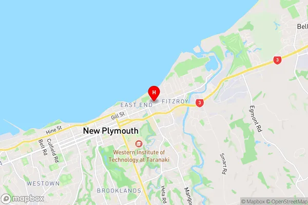
Strandon Region Map
Strandon Introduction
Strandon is a small coastal village located in Taranaki, New Zealand. It is known for its stunning natural beauty, including rugged coastline, picturesque beaches, and lush green forests. The village has a population of around 1,000 people and is a popular destination for outdoor enthusiasts, with many hiking and biking trails nearby. Strandon also has a historic church and a small community center. The village is surrounded by farmland and is located about 30 minutes drive from New Plymouth city.Strandon Region
Strandon City
Strandon Satellite Map

Full Address
Strandon, New Plymouth, TaranakiStrandon Coordinates
-39.050646,174.095153 (Latitude / Longitude)Strandon Map in NZ

NZ Island
North IslandCountry
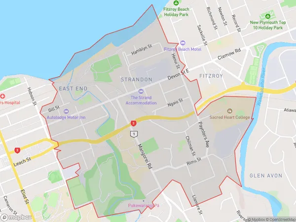
Strandon Area Map (Polygon)
Name
StrandonAdditional Name
East End, New Plymouth CentralLocal Authority
New Plymouth District
Strandon Suburbs (Sort by Population)
Strandon also known as East End, New Plymouth Central. Strandon suburb has around
2.1 square
kilometers.There are more than 2468 people (estimated)
live in Strandon, New Plymouth, Taranaki, New Zealand.