Inglewood Suburbs & Region, Inglewood Map & Postcodes in Inglewood, New Plymouth, Taranaki
Inglewood Postcodes, Inglewood ZipCodes, Inglewood , Inglewood Taranaki, Inglewood Suburbs, Inglewood Region, Inglewood Map, Inglewood Area
Inglewood Region
Inglewood Suburbs
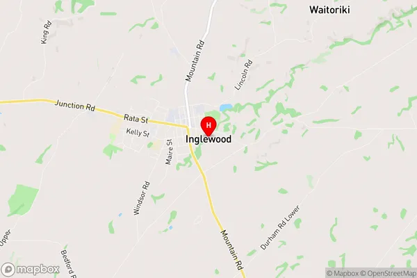
Inglewood is a suburb place type in New Plymouth, Taranaki, NZ. It contains 5 suburbs or localities.Inglewood Region Map
Inglewood Introduction
Inglewood is a small town in Taranaki, New Zealand. It is located on State Highway 1, about 30 kilometers south of New Plymouth. The town has a population of around 1,000 people and is known for its scenic surroundings, including the Inglewood Forest and the Taranaki Mountain Range. The town has a primary school, a post office, a supermarket, and a variety of recreational facilities, including a golf course and a swimming pool. Inglewood is also home to a number of historic buildings, including the Inglewood Hotel and the St John's Anglican Church.Inglewood Region
Inglewood City
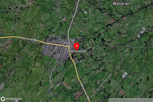
Inglewood Satellite Map
Full Address
Inglewood, New Plymouth, TaranakiInglewood Coordinates
-39.158283,174.212476 (Latitude / Longitude)Inglewood Map in NZ
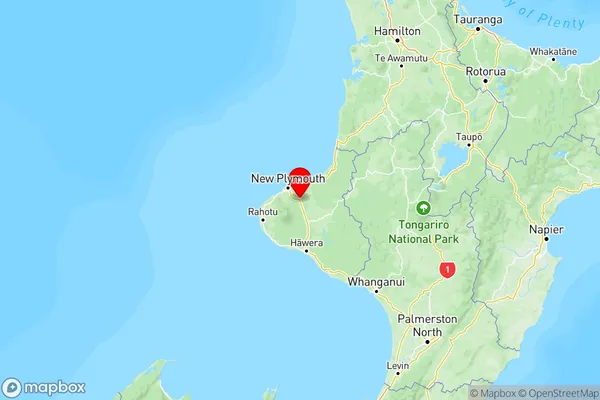
NZ Island
North IslandCountry
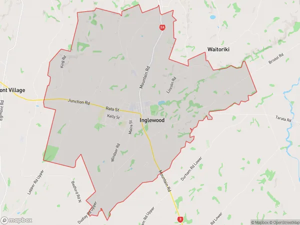
Inglewood Area Map (Polygon)
Name
InglewoodAdditional Name
Local Authority
New Plymouth District
Inglewood Suburbs (Sort by Population)
Inglewood
Inglewood - 4596Everett Park
Everett Park - 306Waiongana
Waiongana - 230Kaimata
Kaimata - 161Waitui
Waitui - 75