Everett Park Area, Everett Park Postcode & Map in Everett Park
Everett Park Area, Everett Park Postcode & Map in Everett Park, New Plymouth District,
Everett Park, New Plymouth District,
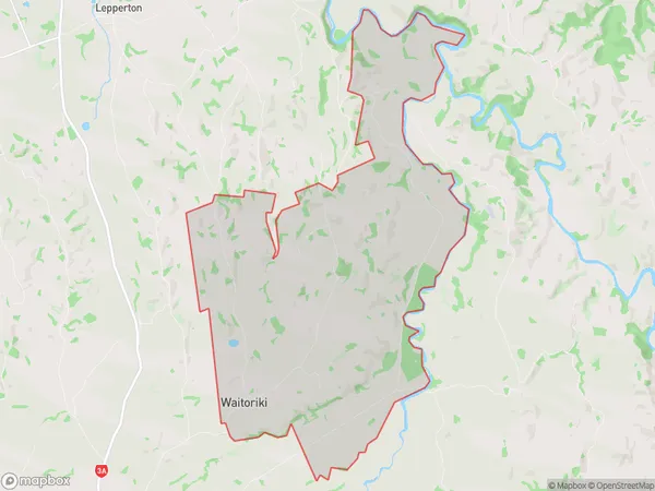
Everett Park Area (estimated)
36.2 square kilometersEverett Park Population (estimated)
306 people live in Everett Park, Inglewood, NZEverett Park Suburb Area Map (Polygon)
Everett Park Introduction
Everett Park is a park in Inglewood, Taranaki, New Zealand. It was established in 1906 and named after the former mayor of Inglewood, Everett M. Smith. The park is a popular recreational spot with a playground, walking tracks, and a cricket pitch. It also has a war memorial and a memorial garden dedicated to the local soldiers who served in World War I and World War II.Region
Major City
Suburb Name
Everett ParkOther Name(s)
WaitorikiEverett Park Area Map (Street)
Local Authority
New Plymouth DistrictFull Address
Everett Park, New Plymouth District,Address Type
Locality in Town InglewoodEverett Park Suburb Map (Satellite)
Country
Main Region in AU
TaranakiEverett Park Region Map
Coordinates
0,0 (latitude/longitude)Distances
The distance from Everett Park, Inglewood, New Plymouth District to NZ Top 10 Cities