Inglewood Suburbs & Region, Inglewood Map & Postcodes in Inglewood, Taranaki
Inglewood Postcodes, Inglewood ZipCodes, Inglewood , Inglewood Taranaki, Inglewood Suburbs, Inglewood Region, Inglewood Map, Inglewood Area
Inglewood Region
Inglewood Suburbs
Inglewood is a city place type in Taranaki, NZ. It contains 5 suburbs or localities.Inglewood Postcodes
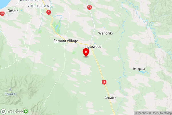
Inglewood Region Map
Inglewood Introduction
Inglewood is a small town located in the Taranaki region of New Zealand. It is situated on the banks of the Taranaki River and is known for its beautiful natural surroundings, including lush forests, waterfalls, and scenic walks. The town has a population of around 5,000 people and is a popular destination for outdoor enthusiasts and tourists. It is home to a number of historic buildings, including the Inglewood Hotel, which was built in the 1880s and is a popular spot for weddings and events. The town also has a community center, a library, and a supermarket. Inglewood is located about 30 minutes from New Plymouth and 2 hours from Wellington, making it an ideal location for a weekend getaway or a day trip.Inglewood Region
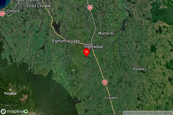
Inglewood Satellite Map
Full Address
Inglewood, TaranakiInglewood Coordinates
-39.178492,174.195662 (Latitude / Longitude)Inglewood Map in NZ
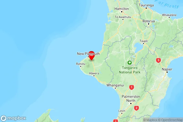
NZ Island
North IslandCountry
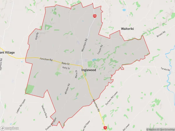
Inglewood Area Map (Polygon)
Name
InglewoodAdditional Name
Local Authority
New Plymouth District
Inglewood Suburbs (Sort by Population)
Inglewood
Inglewood - 4596Everett Park
Everett Park - 306Waiongana
Waiongana - 230Kaimata
Kaimata - 161Waitui
Waitui - 75