Kaimata Area, Kaimata Postcode(4342) & Map in Kaimata
Kaimata Area, Kaimata Postcode(4342) & Map in Kaimata, New Plymouth District, New Zealand
Kaimata, New Plymouth District, New Zealand
Kaimata Postcodes
Kaimata Area (estimated)
39.3 square kilometersKaimata Population (estimated)
161 people live in Kaimata, Taranaki, NZKaimata Suburb Area Map (Polygon)
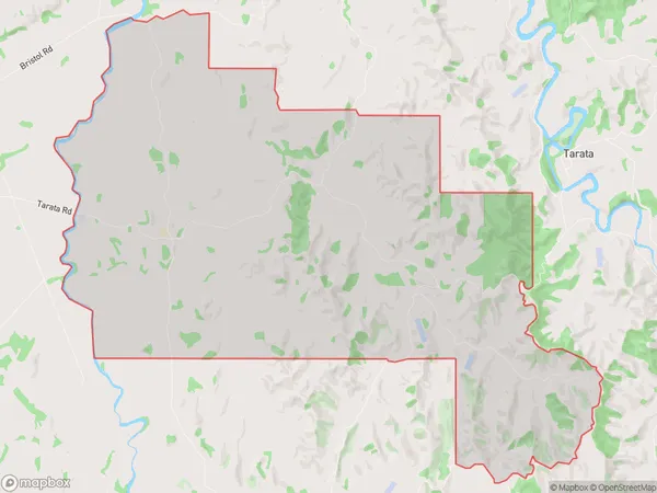
Kaimata Introduction
Kaimata is a small rural community in Inglewood, Taranaki, New Zealand. It is known for its beautiful natural surroundings, including the Kaimata Mountains and the Kaimata Forest. The community has a strong sense of community and is home to a variety of recreational facilities, including a golf course, a tennis court, and a swimming pool. Kaimata is also home to a number of businesses, including a dairy factory and a hardware store.Region
Major City
Suburb Name
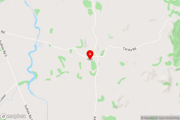
KaimataKaimata Area Map (Street)
Local Authority
New Plymouth DistrictFull Address
Kaimata, New Plymouth District, New ZealandAddress Type
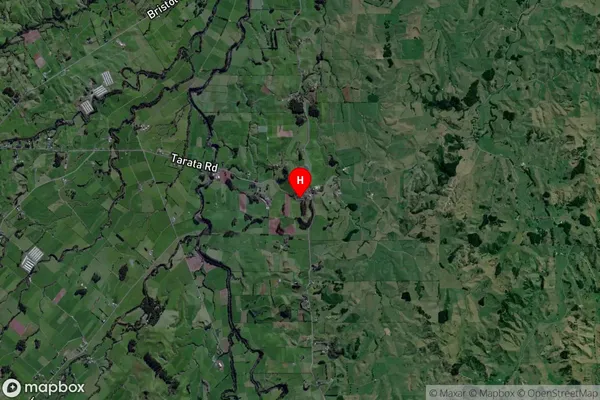
Locality in Town InglewoodKaimata Suburb Map (Satellite)
Country
Main Region in AU
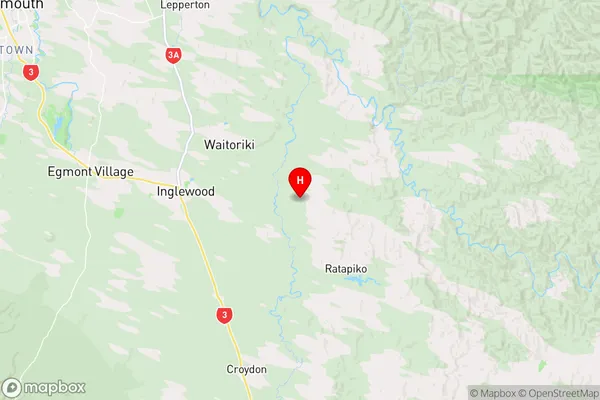
TaranakiKaimata Region Map
Coordinates
-39.1629489,174.2908343 (latitude/longitude)Distances
The distance from Kaimata, Inglewood, New Plymouth District to NZ Top 10 Cities