Waitui Area, Waitui Postcode(4342) & Map in Waitui
Waitui Area, Waitui Postcode(4342) & Map in Waitui, New Plymouth District, New Zealand
Waitui, New Plymouth District, New Zealand
Waitui Postcodes
Waitui Area (estimated)
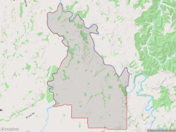
30.0 square kilometersWaitui Population (estimated)
75 people live in Waitui, Taranaki, NZWaitui Suburb Area Map (Polygon)
Waitui Introduction
Waitui is a small rural community in Inglewood, Taranaki, New Zealand. It is located on State Highway 3 and is 12 km south of Inglewood. The area was originally settled by Māori and has a rich history of traditional Māori culture. The Waitui River flows through the area, and the community is surrounded by farmland and native bush. Waitui is a popular destination for outdoor activities such as hiking, fishing, and hunting, and has a community hall and a primary school.Region
Major City
Suburb Name
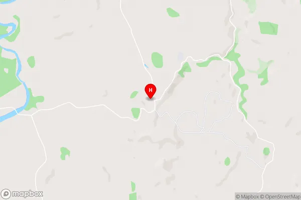
WaituiWaitui Area Map (Street)
Local Authority
New Plymouth DistrictFull Address
Waitui, New Plymouth District, New ZealandAddress Type
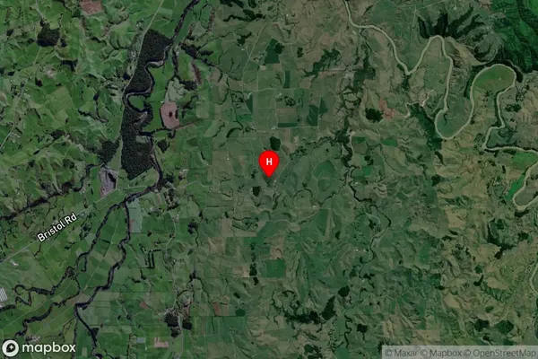
Locality in Town InglewoodWaitui Suburb Map (Satellite)
Country
Main Region in AU
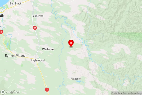
TaranakiWaitui Region Map
Coordinates
-39.1296272,174.3089104 (latitude/longitude)Distances
The distance from Waitui, Inglewood, New Plymouth District to NZ Top 10 Cities