Inglewood Area, Inglewood Postcode(7830) & Map in Inglewood
Inglewood Area, Inglewood Postcode(7830) & Map in Inglewood, New Plymouth District, New Zealand
Inglewood, New Plymouth District, New Zealand
Inglewood Postcodes
Inglewood Area (estimated)
45.2 square kilometersInglewood Population (estimated)
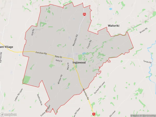
4596 people live in Inglewood, West Coast, NZInglewood Suburb Area Map (Polygon)
Inglewood Introduction
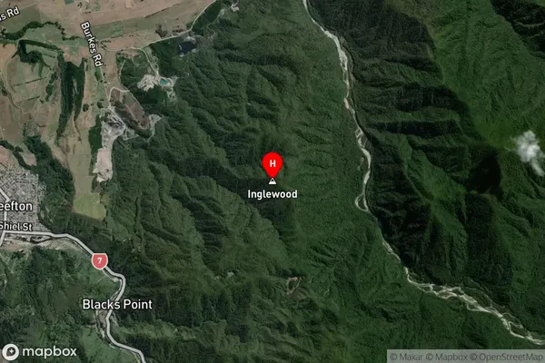
Inglewood is a small West Coast town in New Zealand. It is situated on State Highway 6, approximately 120 kilometers west of Westport and 30 kilometers east of Greymouth. The town was established in the 1860s and was once a significant coal-mining center. Today, it is a popular tourist destination known for its scenic surroundings, including the historic Inglewood Forest.Region
Major City
Suburb Name
InglewoodInglewood Area Map (Street)
Local Authority
New Plymouth DistrictFull Address
Inglewood, New Plymouth District, New ZealandAddress Type
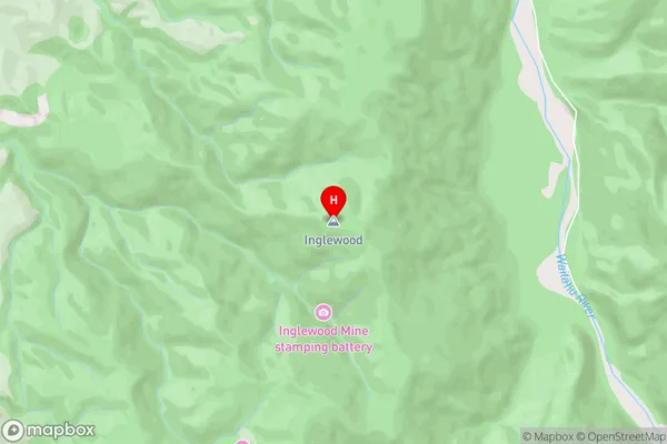
Suburb in Town InglewoodInglewood Suburb Map (Satellite)
Country
Main Region in AU
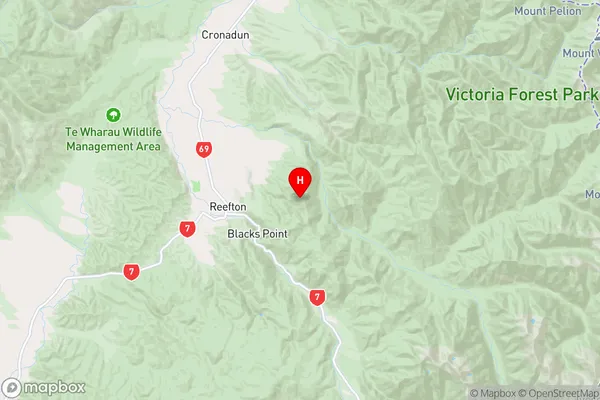
West CoastInglewood Region Map
Coordinates
-42.1125184,171.9129457 (latitude/longitude)Distances
The distance from Inglewood, Inglewood, New Plymouth District to NZ Top 10 Cities