Hurdon Suburbs & Region, Hurdon Map & Postcodes in Hurdon, New Plymouth, Taranaki
Hurdon Postcodes, Hurdon ZipCodes, Hurdon , Hurdon Taranaki, Hurdon Suburbs, Hurdon Region, Hurdon Map, Hurdon Area
Hurdon Region
Hurdon Suburbs
Hurdon is a suburb place type in New Plymouth, Taranaki, NZ. It contains 0 suburbs or localities.Hurdon Postcodes
Hurdon Region Map

Hurdon Introduction
Hurdon is a small rural town located in the Taranaki region of New Zealand. It is situated on the banks of the Hauraki River and is known for its beautiful countryside, historic buildings, and friendly community. The town has a population of around 2,000 people and is home to a variety of businesses, including a supermarket, a pharmacy, a hotel, and several cafes and restaurants. Hurdon is also a popular destination for outdoor enthusiasts, with many walking and cycling trails nearby. The town is surrounded by stunning natural scenery, including the Taranaki Mountain Range, and is only a short drive from the coastal town of New Plymouth.Hurdon Region
Hurdon City
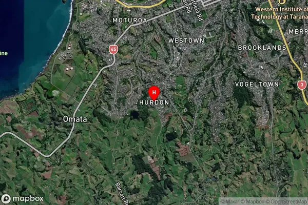
Hurdon Satellite Map
Full Address
Hurdon, New Plymouth, TaranakiHurdon Coordinates
-39.087833,174.047292 (Latitude / Longitude)Hurdon Map in NZ
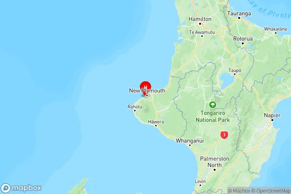
NZ Island
North IslandCountry
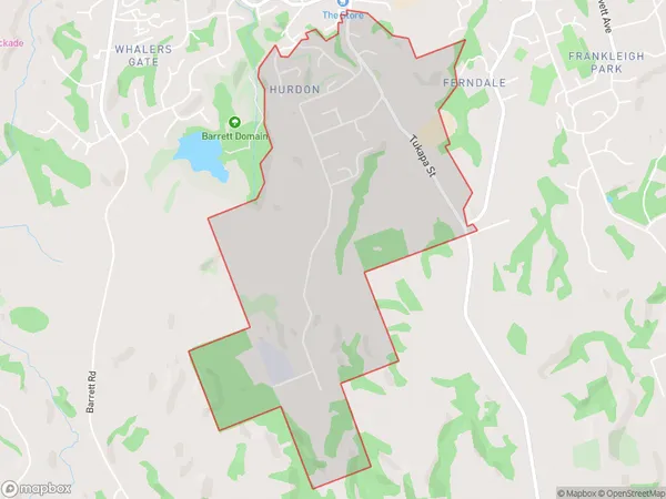
Hurdon Area Map (Polygon)
Name
HurdonAdditional Name
Local Authority
New Plymouth District
Hurdon Suburbs (Sort by Population)
Hurdon suburb has around
3.2 square
kilometers.There are more than 1155 people (estimated)
live in Hurdon, New Plymouth, Taranaki, New Zealand.