Lower Vogeltown Area, Lower Vogeltown Postcode(4310) & Map in Lower Vogeltown
Lower Vogeltown Area, Lower Vogeltown Postcode(4310) & Map in Lower Vogeltown, New Plymouth District, New Zealand
Lower Vogeltown, New Plymouth District, New Zealand
Lower Vogeltown Postcodes
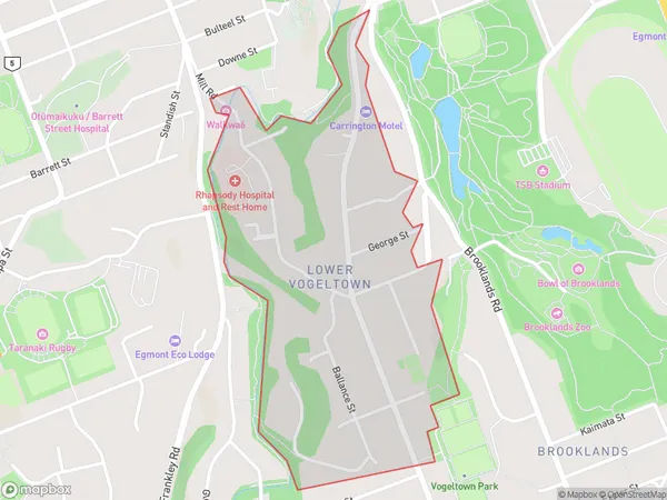
Lower Vogeltown Area (estimated)
0.7 square kilometersLower Vogeltown Population (estimated)
1307 people live in Lower Vogeltown, New Plymouth, NZLower Vogeltown Suburb Area Map (Polygon)
Lower Vogeltown Introduction
Lower Vogeltown is a suburb of New Plymouth, Taranaki, New Zealand. It is located on the western side of the city, near the intersection of SH3 and SH4. The suburb has a population of around 1,000 people and is known for its historic homes and peaceful atmosphere. Lower Vogeltown is also home to a popular golf course and a small shopping center.Region
Major City
Suburb Name
Lower VogeltownOther Name(s)
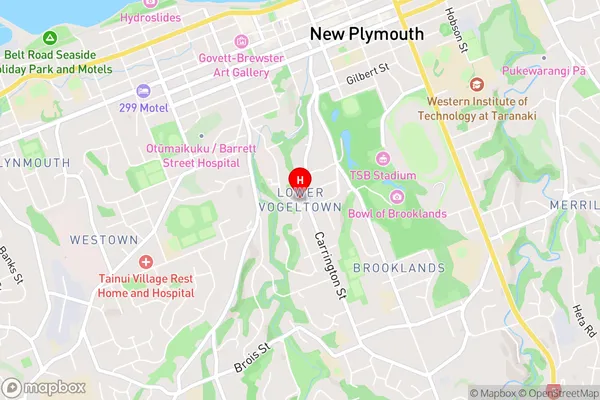
New Plymouth CentralLower Vogeltown Area Map (Street)
Local Authority
New Plymouth DistrictFull Address
Lower Vogeltown, New Plymouth District, New ZealandAddress Type
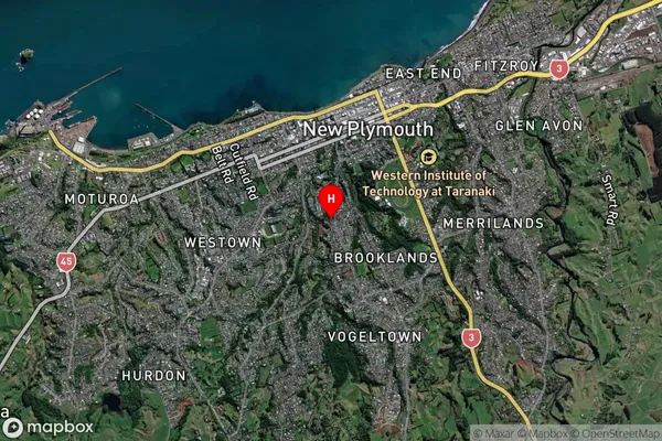
Suburb in City New PlymouthLower Vogeltown Suburb Map (Satellite)
Country
Main Region in AU
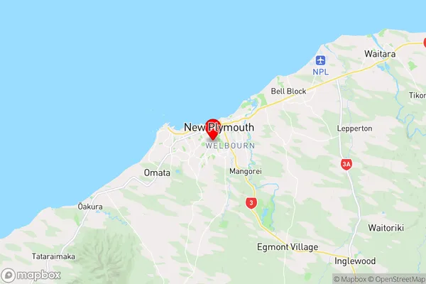
TaranakiLower Vogeltown Region Map
Coordinates
-39.069063,174.0749144 (latitude/longitude)Distances
The distance from Lower Vogeltown, New Plymouth, New Plymouth District to NZ Top 10 Cities