Blagdon Area, Blagdon Postcode(4310) & Map in Blagdon
Blagdon Area, Blagdon Postcode(4310) & Map in Blagdon, New Plymouth District, New Zealand
Blagdon, New Plymouth District, New Zealand
Blagdon Postcodes
Blagdon Area (estimated)
0.8 square kilometersBlagdon Population (estimated)
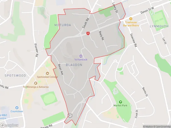
1474 people live in Blagdon, New Plymouth, NZBlagdon Suburb Area Map (Polygon)
Blagdon Introduction
Blagdon is a small rural community in New Plymouth, Taranaki, New Zealand. It is located on State Highway 3 and is about 15 minutes' drive from New Plymouth city center. The area is known for its scenic countryside and peaceful atmosphere, with many farms and gardens. Blagdon has a primary school, a post office, and a small supermarket. The community also hosts a variety of events and activities throughout the year, including a farmers' market and a Christmas festival.Region
Major City
Suburb Name
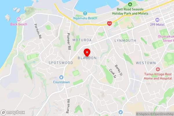
BlagdonBlagdon Area Map (Street)
Local Authority
New Plymouth DistrictFull Address
Blagdon, New Plymouth District, New ZealandAddress Type
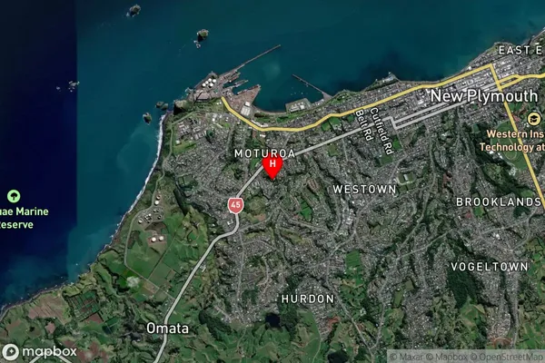
Suburb in City New PlymouthBlagdon Suburb Map (Satellite)
Country
Main Region in AU
TaranakiBlagdon Region Map
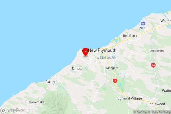
Coordinates
-39.0705868,174.0406899 (latitude/longitude)Distances
The distance from Blagdon, New Plymouth, New Plymouth District to NZ Top 10 Cities