Brooklands Area, Brooklands Postcode(4310) & Map in Brooklands
Brooklands Area, Brooklands Postcode(4310) & Map in Brooklands, New Plymouth District, New Zealand
Brooklands, New Plymouth District, New Zealand
Brooklands Area (estimated)
0.8 square kilometersBrooklands Population (estimated)
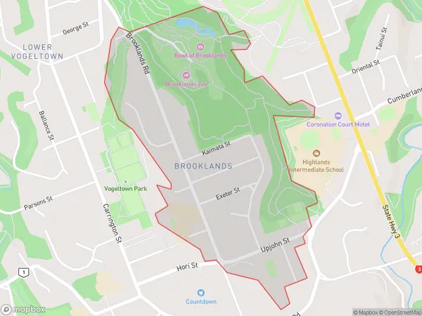
937 people live in Brooklands, New Plymouth, NZBrooklands Suburb Area Map (Polygon)
Brooklands Introduction
Brooklands is a suburb of New Plymouth, Taranaki, New Zealand. It is located on the western side of the city, near the beach. The suburb has a population of around 2,000 people and is known for its historic buildings and peaceful atmosphere. It was once home to a large racing track, which is now a popular recreational area.Region
Major City
Suburb Name
BrooklandsOther Name(s)
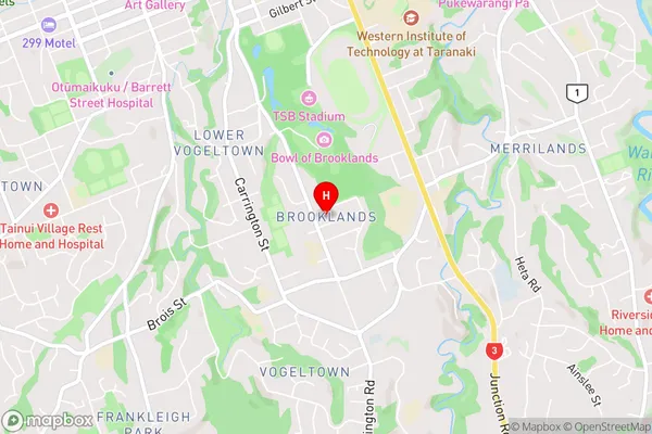
New Plymouth CentralBrooklands Area Map (Street)
Local Authority
New Plymouth DistrictFull Address
Brooklands, New Plymouth District, New ZealandAddress Type
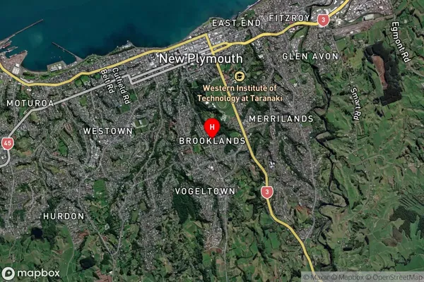
Suburb in City New PlymouthBrooklands Suburb Map (Satellite)
Country
Main Region in AU
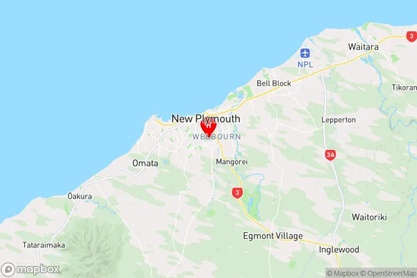
TaranakiBrooklands Region Map
Coordinates
-39.0736025,174.083388 (latitude/longitude)Distances
The distance from Brooklands, New Plymouth, New Plymouth District to NZ Top 10 Cities